“The lack of technical skill is the main cause of accidents in the natural environment. Along with training, it is essential to successfully convey accurate information about the characteristics and conditions of the mountain. Making this information accessible and understandable to the novice user ensures they understand the risks involved in heading into the mountains and can adapt their activities accordingly.”
So reads the final paragraph of the conclusions section of the 2017 Mountain Sports Accident Study by the Spanish Federation of Mountain Climbing and Escalada (FEDME). According to GREIM statistics, most rescues occur due to a lack of technical skill and physical preparation. This fact suggests that in many cases, activities are undertaken beyond people’s capabilities. They conclude that there is a planning problem.
It is true that you cannot generalize and that each case has its own unique set of circumstances and casuistry. Nor can we forget that the mountain is a wild natural environment where we are the weakest link. No one can predict exactly when a slope will collapse, a rock will fall, or the wind will shift, bringing on a storm. Despite current technological advances, absolute certainty simply does not exist in this environment.
As harsh as it sounds, mountain accidents will continue to happen. It is an inherent factor of the activity and the environment. So, if we are not aware of this and cannot accept it, we are better off finding other hobbies.
What is entirely in our hands is putting every resource at our disposal to minimize subjective risks. We are referring to those risks that directly concern us, which coincidentally align with the FEDME report: technical training and planning.
Use specialized sources for the environment
When it comes to planning, information sources are fundamental. Mountain clubs and refuges constitute a vital resource. Additionally, there are countless recognized guides and mountaineers who post their experiences and detailed reviews on their blogs. There are specialized magazines (I repeat SPECIALIZED, not general interest) for the outdoors that publish detailed itineraries, along with websites and forums dedicated to the subject. Of course, you can always hire the services of professional mountain guides.
All of these sources offer high added value, and we should use them to gather data. However, we must keep in mind that, in most cases, the authors speak (we speak) from their own experience and capabilities. Until now, those of us who share this hobby have always compared these parameters against our own abilities and aptitudes. This allows us to establish a baseline for gauging our chances of success on the described routes. Routes that feature climbing sections, where the difficulty scale is standardized, do not require estimates.
Conversely, if your only source of information comes from a publication that does not specialize in the outdoors, there is a much higher probability of running into at least one unpleasant surprise.
With all the data gathered, you should have a clear idea of the itinerary to follow, including elements like bridges, rivers, bivouac sites, refuges, areas requiring special attention due to specific characteristics (avalanche or rockfall risk, for example), or technical difficulties.
Knowing the weather conditions will be fundamental for your planning, as well as the snowpack forecast, if applicable.
Assess the difficulty
The team at Montaña Segura (Government of Aragon, Aramón, and the Aragonese Mountaineering Federation) has been working on this issue for some time to offer a unified criteria method that facilitates the identification of difficulty and exposure on mountain itineraries. We are talking about the MIDE. This method is recommended by the Spanish Federation and other mountain federations.
The MIDE method provides basic information for planning a route. On one hand, it indicates values such as estimated time, elevation gain, itinerary type, etc., and on the other, information related to difficulty and exposure. The table is designed to be used as complementary information, and it couldn’t be any other way. Climbing a mountain in ideal summer conditions is not the same as doing the same route in winter. It is also not the same if fog rolls in or you are caught by a storm… or if a specific section is snowy or wet.
In mid and low mountains, the consequences can be manageable in most cases, but in high mountains, things change. Here, if the excursion goes wrong, it can range from a major scare to getting into a mess of colossal proportions.
Technical capacity
If the route you wish to follow requires the use of crampons and an ice axe because you will be crossing a snowfield or a glacier, you must know the proper techniques for using these tools. You will be able to do little or nothing in the event of a fall if you do not know self-arrest techniques. Nor will you progress safely if you are unfamiliar with proper progression techniques.
The same applies to any other technical requirement, such as using ropes, moving through steep terrain, navigation, avalanche transceivers (ARVA), and a long etcetera.
Adequate equipment
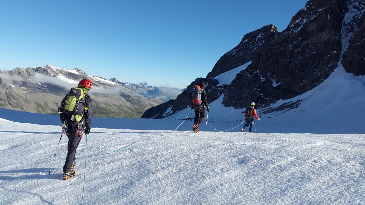
It is important to adapt your equipment to the itinerary you are going to undertake. You must take into account the particularities of each route and its current conditions. There is an endless variety of mountain clothing and footwear, each with its own features and specifications. The same goes for accessories, auxiliary gear, and safety equipment.
To establish a baseline, you should wear mountain boots with socks specific to the activity and season. Basic clothing includes technical pants and the “three-layer rule” for your upper body: thermal base layer, windbreaker, and waterproof outer layer.
If you are going to travel through snowy or icy areas, an ice axe and crampons will be mandatory. Naturally, don’t forget your mountain backpack, sunglasses with adequate polarization, a water bottle, space blanket, headlamp, trekking poles, etc.
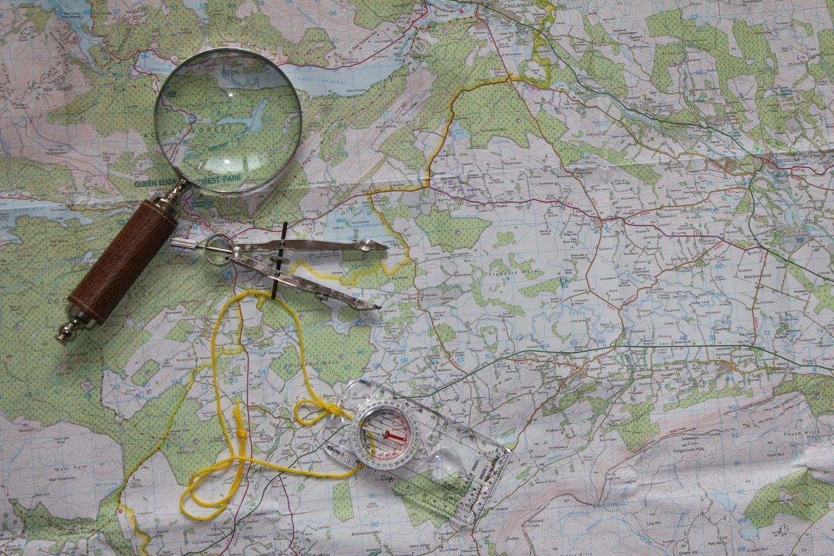
For any activity you undertake, it is highly advisable to carry a map of the area and a compass. They have the advantage of not needing batteries to work, and they are affordable. You just have to learn how to use them… Fortunately, federations and clubs frequently organize training courses on this and other subjects.
Food and water supply
If you are going to err on the side of caution during planning, do it by packing extra food and water. Even if the itinerary shows fountains along the way, you won’t know until you get there whether they are actually flowing or if the water is safe to drink. Livestock and wildlife are common in the mountains, so a safe water supply from streams is not always guaranteed. In fact, carrying water purification tablets is generally a solid recommendation.
Regarding food, this type of activity usually results in high energy expenditure and electrolyte loss. Energy bars, chocolate, nuts, and dried fruit are common companions in fatigue. The same goes for isotonic drinks or supplements in all their commercial forms.
The classic sandwich is always welcome, as is fruit—although they do weigh quite a bit more.
Set a cut-off time
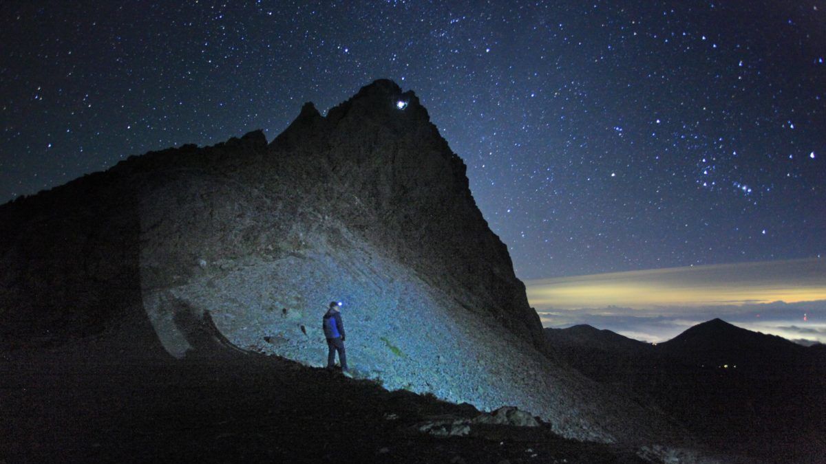
At first glance, setting a time when—regardless of your situation—you must begin heading back may sound like an exaggeration lifted from classic mountaineering literature. Nothing could be further from the truth. Establishing a cut-off time will allow for a much safer return. It gives you a margin of maneuver to resolve the situation in case you run into setbacks.
Another reason to set a turnaround time is to keep priorities straight. The main priority should always be getting back to the base safely, since the summit is really just the halfway point of the journey.
Escape routes and cell coverage
Before tackling an itinerary, as we saw earlier, you should have already identified the locations of refuges, cabins, and similar structures. Having these elements roughly mapped out can be incredibly helpful when the unexpected happens. When facing adverse conditions, knowing where to find shelter can save you from spending a night out in the open, something you will deeply appreciate in cold and wet weather.
Escape routes must also be factored in. You should know at all times which direction to head based on your location to find the best escape routes if something goes wrong, because bailing out of a simple trekking route is entirely different from bailing off a ridge. On a standard ascent, turning around and retracing your steps is rarely a problem. However, retreating from a ridge is much more complicated than descending to its base and escaping over solid terrain (as a general rule).
Last but not least, check the coverage map of your mobile network provider. There are areas where making an emergency call is simply impossible. There are quite a few dead zones out there, and it is something you must keep in mind during planning. In the event of an accident, you might have to walk for several hours just to reach a spot with a signal.
Common sense
Planning is one thing, but putting it into practice on the ground is entirely another. Even after doing excellent planning, you might find yourself in worse physical shape than you expected. Mountain conditions may have shifted, causing the route’s exposure level to vary substantially.
Because of this, once you are out there, if you don’t feel confident about it, turn around. It is much better to come back another day than to lose the opportunity to choose.