Stage 43 of the GR11 Trans-Pyrenean El Port de la Selva-Cap de Creus
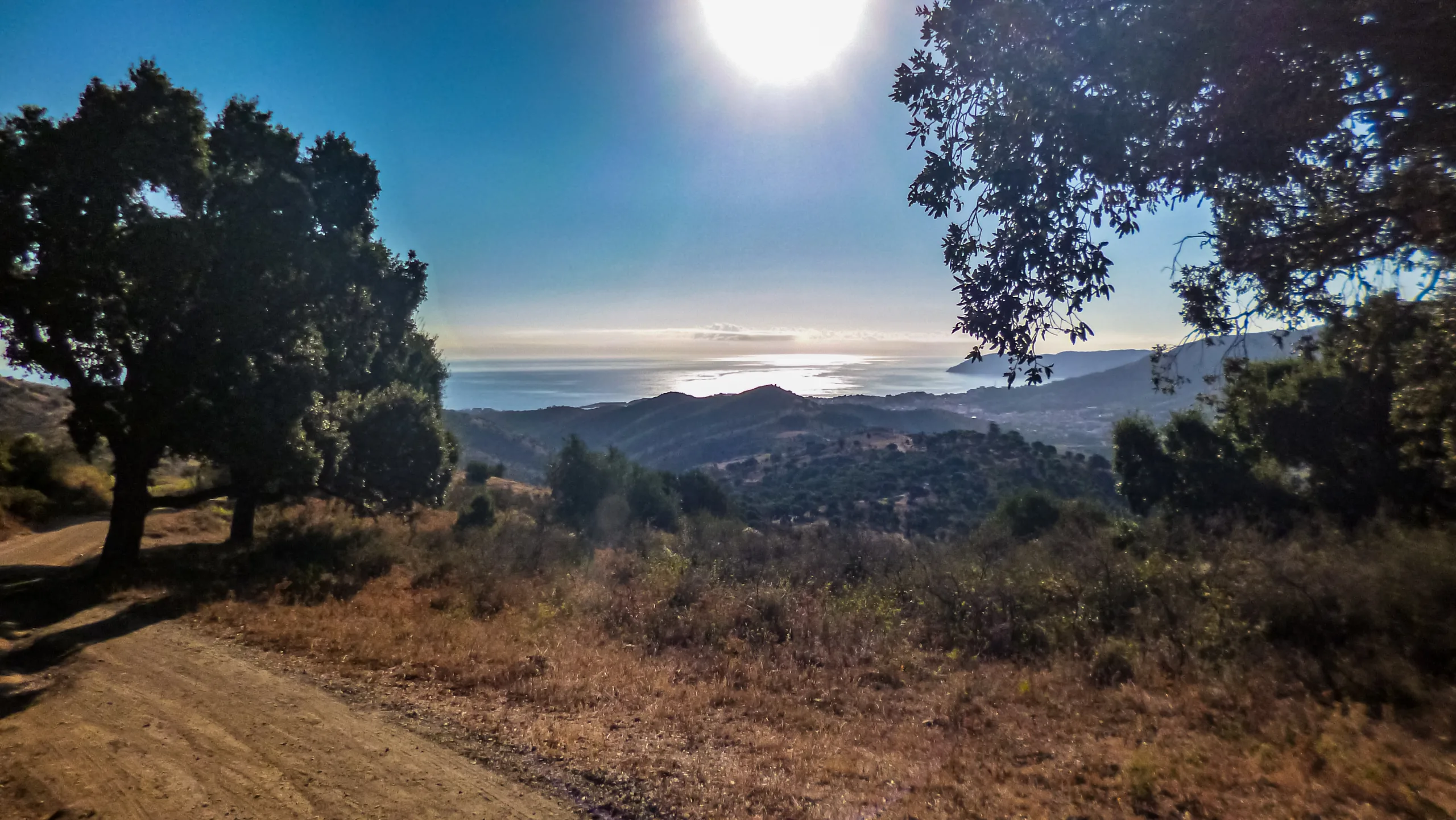
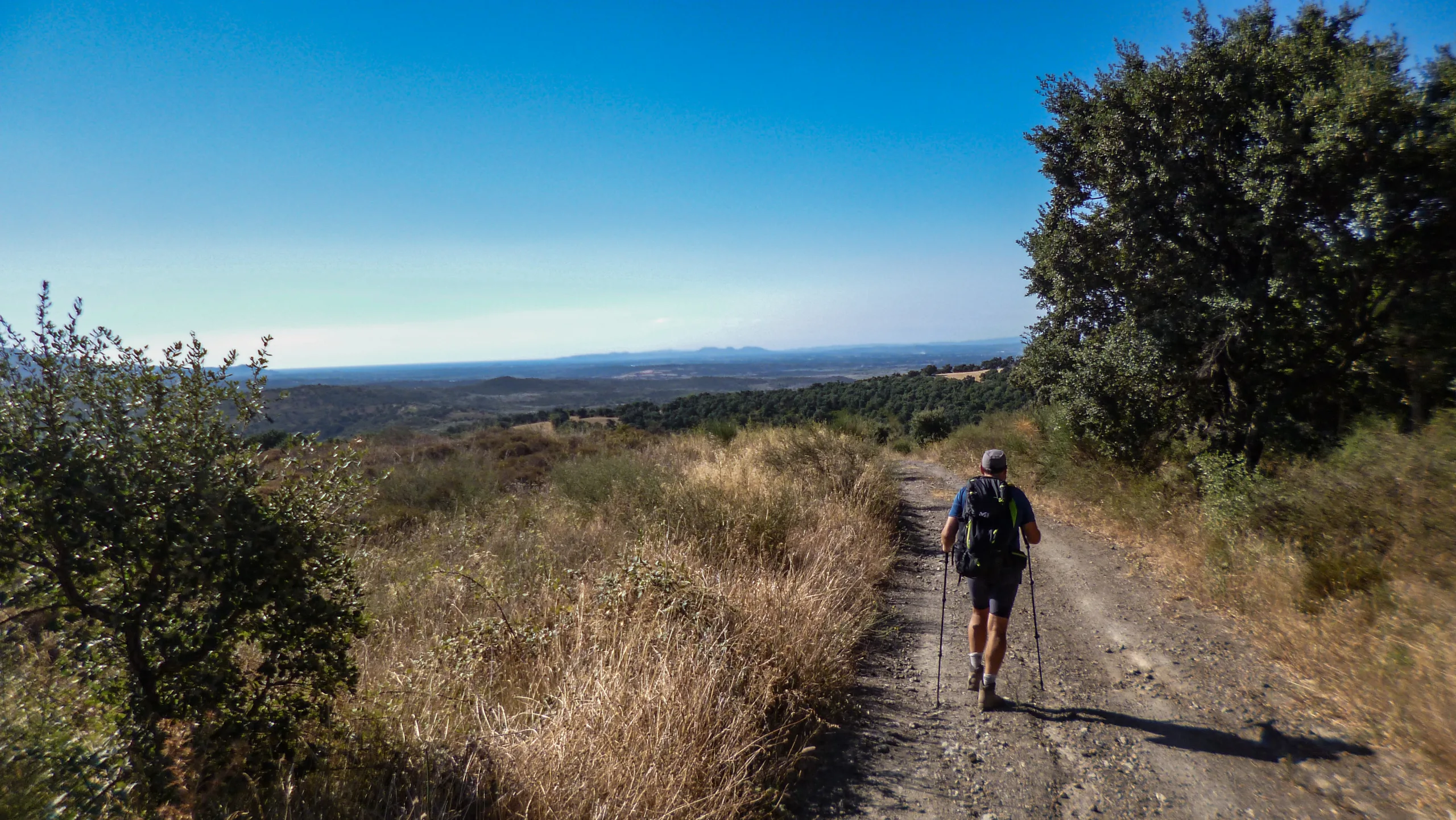
Embarking on the final stretch between El Port de la Selva and Cap de Creus, we face a stage of moderate length and manageable elevation gains, dominated mostly by dirt tracks and trails. Far from monotonous, this route keeps us thoroughly entertained with its endless climbs, descents, winding detours, and a considerable number of junctions.
Unlike the familiar rhythm of previous days—where we would conquer one or more cols before descending the opposite slope with clear landmarks guiding our way—this coastal landscape breaks the mold. Here, visual references are scarce and shift with every passing section.
Fortunately, the trail is well-marked. As long as we maintain a general southeasterly to easterly bearing, navigating this terrain shouldn’t pose any real problems, provided the weather remains on our side.
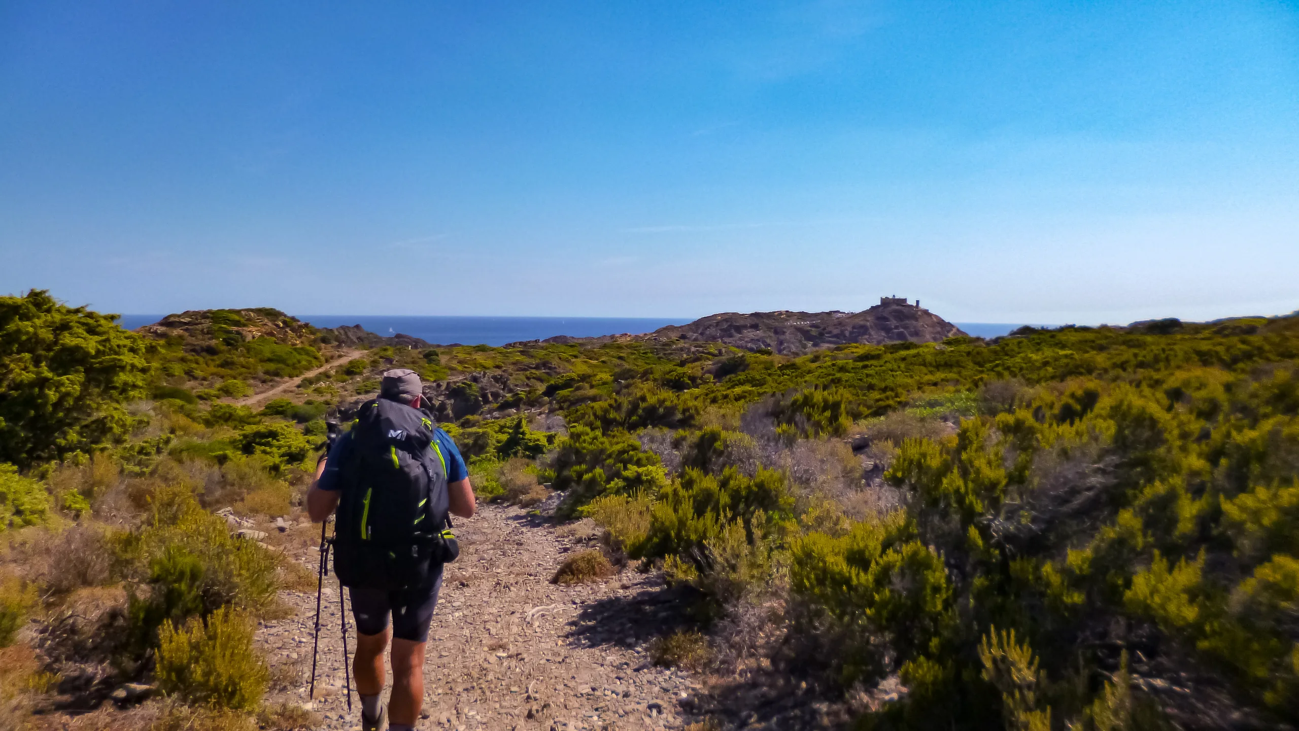
Naturally, the ultimate reward driving us forward is reaching the easternmost tip of the coast. Standing at the cape, we will finally conclude an epic journey spanning over 800 kilometers and conquering more than 40,000 meters of cumulative elevation gain.
USEFUL INFORMATION



DIFFICULTY AND EXPOSURE

Mountain Itinerary Information Method (MIDE)
The MIDE is a method used to assess the degree of difficulty and exposure of mountain routes, recommended by the Federation of Mountain and Climbing Sports (FEDME), among other federations. Its goal is accident prevention by unifying the criteria of technical and physical demands of the routes, resulting in a more objective classification.
Each MIDE information table consists of two columns: the left one contains reference information about the itinerary, such as duration, elevation gain, distance, etc. The right column displays information related to the different aspects of the route’s difficulty. The evaluation scale ranges from 1 to 5 (from lowest to highest).
This method provides basic information in a changing environment; therefore, we must keep in mind that terrain conditions can vary significantly. For this reason, it is always recommended to check the state of the route before setting out.
ROUTE PROFILE
Explore the route profile
- The profile synchronizes with the track to analyze the evolution of elevation changes along the route.
- Select any point on the track on the map to see it projected on the profile.
- Click on the waypoints to identify and locate them on an external map.
ROUTE DESCRIPTION
ALONG THE COASTLINE
We kick off the final stage of the GR11 at the entrance to the beach parking lot in Port de la Selva. Making our way toward the town center, we follow a dirt path running parallel to the road. Soon after crossing the bridge over the Riera de Romanyac, the path transitions into a paved sidewalk.
Leaving the beach and harbor behind, we trace the coastline northward, seeking the town’s exit near the western slopes of La Carbonera. As soon as we begin to gain elevation on the asphalt, an intersection appears. Choosing the right-hand street of the two heading north, we pass between an isolated building on our left and a set of stairs attached to another structure on our right.
Skirting La Carbonera along the coast, the street climbs gently. Upon reaching the junction on the northern slope, we continue uphill taking the right branch, maintaining a southeasterly bearing as the gradient noticeably steepens. Our traverse around the peak concludes near the residential area situated just south of the summit, cresting the high point of the ridge.
Pushing southward, we arrive at a crossroads at the end of the street, where we finally leave the pavement behind by taking the track on the left. Marked by a steel access gate at its entrance, this dirt track skirts the eastern flank of Puig Traic.
Wrapping up our traverse of the eastern slope, we hold a southeasterly course, ascending slightly toward the forest. Passing the elevated ruins of Mas Puignau on our right, we soon encounter a sequence of three junctions that signal the start of our descent toward Sant Baldiri de Tavallera.
DESCENT TOWARD SANT BALDIRI DE TAVALLERA
At the first intersection, we bear right to stay on course. Shortly after crossing a cattle grid, the second junction comes into view. Sticking to the main track on the right, we immediately hit the third crossroads. Here, we step off the primary route, opting instead for the left-hand path that continues steadily to the southeast.
Navigating further, we reach another fork situated by a sharp switchback, marked by a signpost on the right. We take the tangent, keeping our southeasterly heading along a clear trail. After covering just over 200 linear meters, a perpendicular track intersects our route. Crossing straight over to the east, we maintain our southeasterly bearing on the path that leads us directly to the tower and the hermitage.
TOWARD A PECULIAR JUNCTION
Leaving the hermitage on our left, we hike down to the next intersection. Grabbing the trail that starts next to a signpost on the right, we initially climb southward, carving a sharp switchback to gain elevation.
The trail soon recovers its southeasterly direction, breaking out into the open on the upper reaches of the ridge adjacent to the monastery. Dropping down to the streambed of the Rec de Calabre, we then veer northeast, powering up the slope to a crossing of tracks.
Emerging at the junction, we pivot southeast to tackle the incline leading up to the Col de Maó. Resting on the flat expanse of the col are the ruins of Mas Vell, which we bypass on our left before descending into the basin, holding our established bearing.
Suddenly, the path swings northeast, guiding us on a gentle downhill grade to another fork. We follow a well-defined trail that arcs northward, eventually dropping down to the channel of the Rec d’en Fitó while tracking southeast.
Having left the stream behind, we push upward toward a small plateau nestled on the southern flanks of Puig de n’Amat. Striding past the shelters flanking both sides of the trail, we maintain an easterly trend along a broad forest track until we reach the next open-air intersection.
Pressing eastward, we navigate a narrow path that cuts through dense vegetation, ultimately arriving at a junction featuring what is quite possibly the most peculiar signpost on the entire GR11.
CLOSING IN ON THE FINISH
Shifting northeast along the track, we make our way toward the Fangar de s’Arenassa. Once across the streambed, the route bends east, routing us just south of the Puig Melús summit. We pass through the metal gate securing the track and continue onward with a southeasterly drift.
Nearing the northern base of Puig Alt Gran, the track curves to skirt the peak along its eastern edge. Upon reaching Mas de Rabassers de Dalt, the path reorients to the northeast, wrapping around the promontory on our left. It then runs parallel to the streambed eastward until we cross it right beside Mas dels Rabassers de Baix.
THE SCENT OF SEA SALT
Just a few meters from the farmhouse buildings, we trade the track for a trail branching off from the junction in an easterly direction. This path runs parallel to the Cap de Creus access road, keeping a distance of just over 50 meters.
Intersecting a northeast-bound track and a path originating from a road bend, we veer southeast, cresting a small ridge to gradually close the gap with the asphalt. We cross the road heading south beneath Puig de sa Rovellada, then resume a northeasterly course toward the southern base of Puig de ses Portes.
At the foot of the peak, we swing right to thread our way through the rocky col. Here, we fix our gaze eastward, as the buildings clustered around the Far del Cap de Creus finally come into view.
Hiking down to the road, the trail then carves a southeasterly arc, pulling away from the pavement and plunging into thick brush. We ford the channel of the Rec de la Cala Bona beneath Puig de ses Formigues, where the well-trodden path distinctly reappears.
A sharp turn to the northeast delivers us to a junction marked by an information panel, right beside the tarmac. Opting for the right-hand trail, we cut across the road’s sweeping bend, stepping back onto the asphalt at the very next curve.
Once past the bend, we catch the path dropping toward the cove on our right, following it until we hit an intersection flanked by stairs and a utility pole on the left. Taking the stair route, we head north-northeast, positioning ourselves just below the road. A final push up the eastern ridge brings us back to the pavement.
THE FINAL METERS
Before the left-hand curve ends, we step off the road onto a cobbled ramp, climbing toward the upper plateau. Entering through the gateway that leads to the lighthouse bar’s terrace, we leave the beacon on our left and step out onto the viewpoint.
Barely 500 meters as the crow flies separate us from the true Cap de Creus. To conclude this trek properly, we descend via one of the eastern trails, using a distinct rock formation—marked by a gray, ascending diagonal band of stone—as our guiding landmark.
Approaching its base, we continue our eastward descent until the cape’s prominent crag comes into focus, revealing its two visible paths and an islet resting just behind it. We make our way to the bottom and access the lower terrace for the final loop.
Capturing our final photo at the official terminus of the GR11, all that remains is to circle the base once more. Stepping down into the cove on the left, we dip our hands into the waters of the Mediterranean Sea—a tactile confirmation that we have, in the most literal sense, completed this monumental journey from sea to sea.
GR11 EL PORT DE LA SELVA-CAP DE CREUS IN 360° AND VR
Enable full screen on the control panel
- Directional arrows on the screen
- Interactive map
- Step-by-step menu
Click the main button and drag the mouse to change the perspective
Dual navigation via directional arrows or mobile markers for previous/next image

BIVOUAC
Protected areas for spending the night outdoorsNot applicable

SHELTER
Facilities equipped for eating and sleepingAccommodation options are available at the start of the stage.
There are unstaffed shelters along the way (cleanliness not guaranteed).

WATER POINT
Drinking water refill pointsStreams are present along the trail (flow and potability not guaranteed).
Resupply is possible at the beginning and end of the stage.

CAUTION
Areas requiring increased caution due to objective risksNone observed

SAFETY
Anchors, belays, and other safety elementsNone observed