Stage 39 of the Trans-Pyrenean GR11 Albanyà-La Vajol
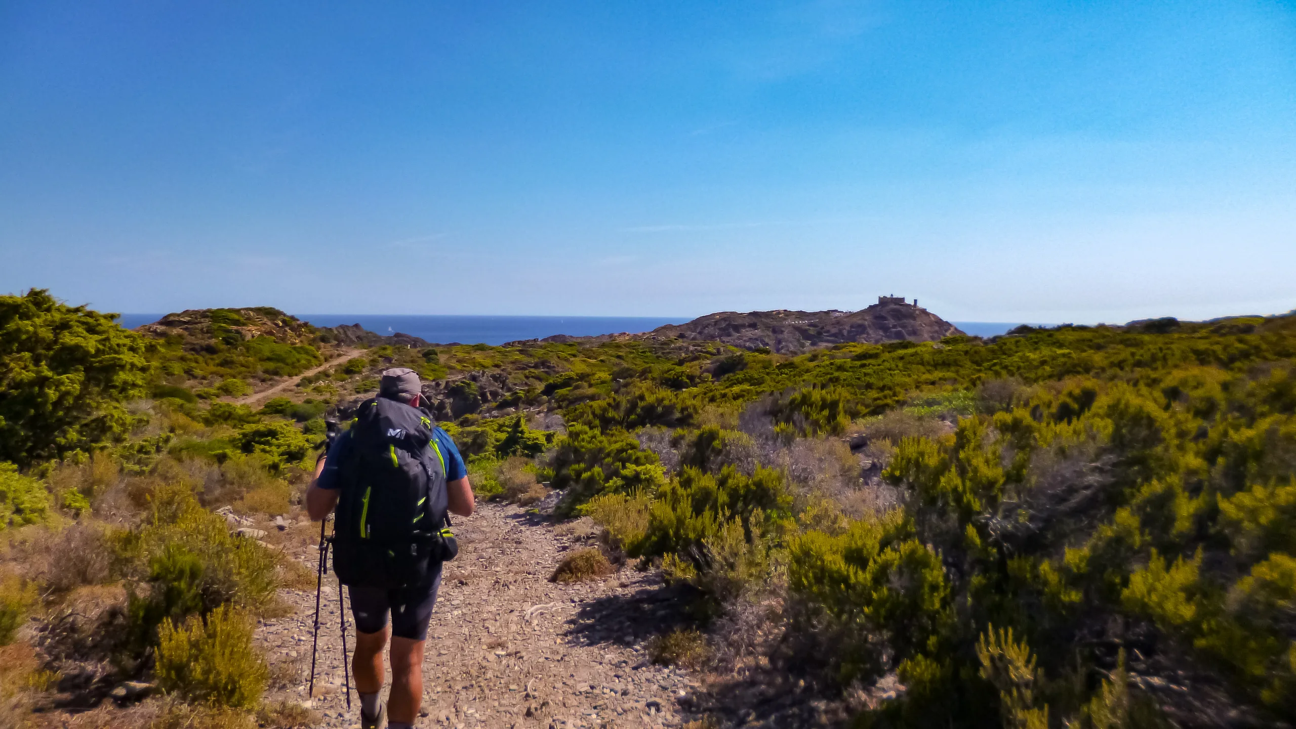
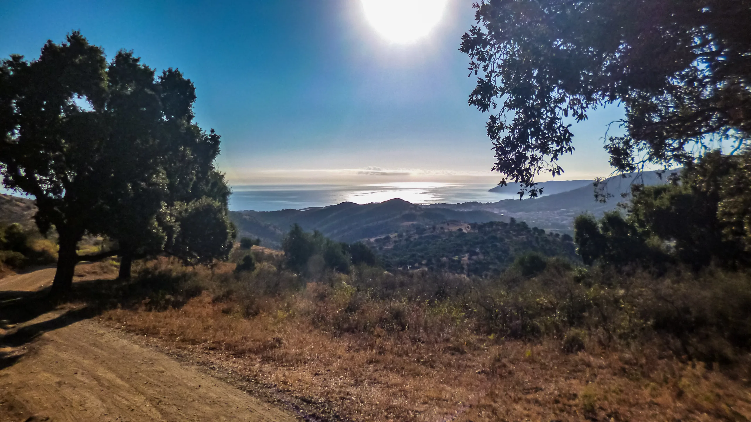
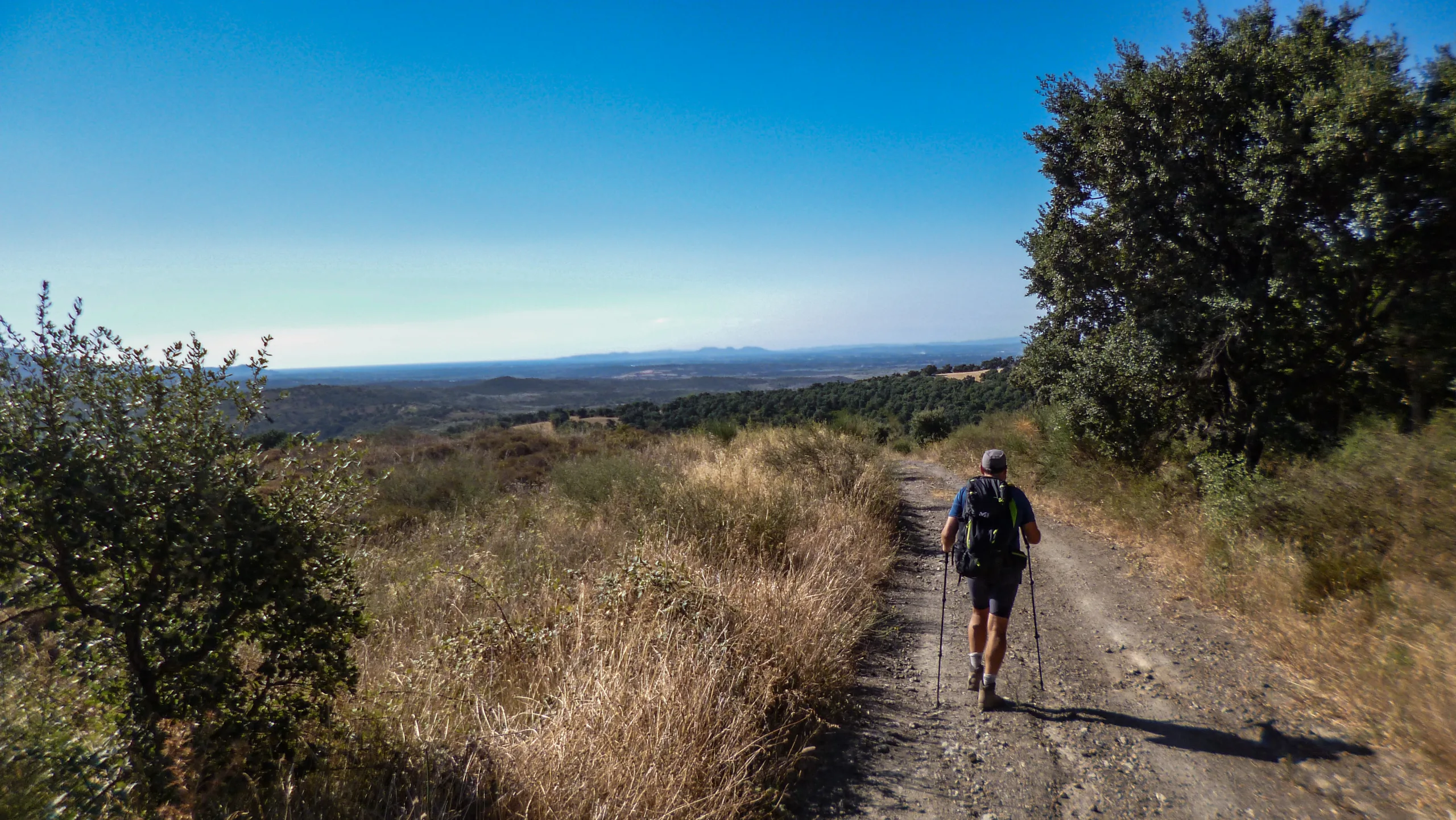
The Albanyà-La Vajol stage is a long journey where we traverse the endless forests stretching between both towns, navigating primarily along dirt tracks and trails.
Over the course of nearly 26 kilometers, we accumulate more than 1,000 meters of elevation gain and over 800 meters of descent. The bulk of this physical demand is concentrated in the first and final thirds of the stage.
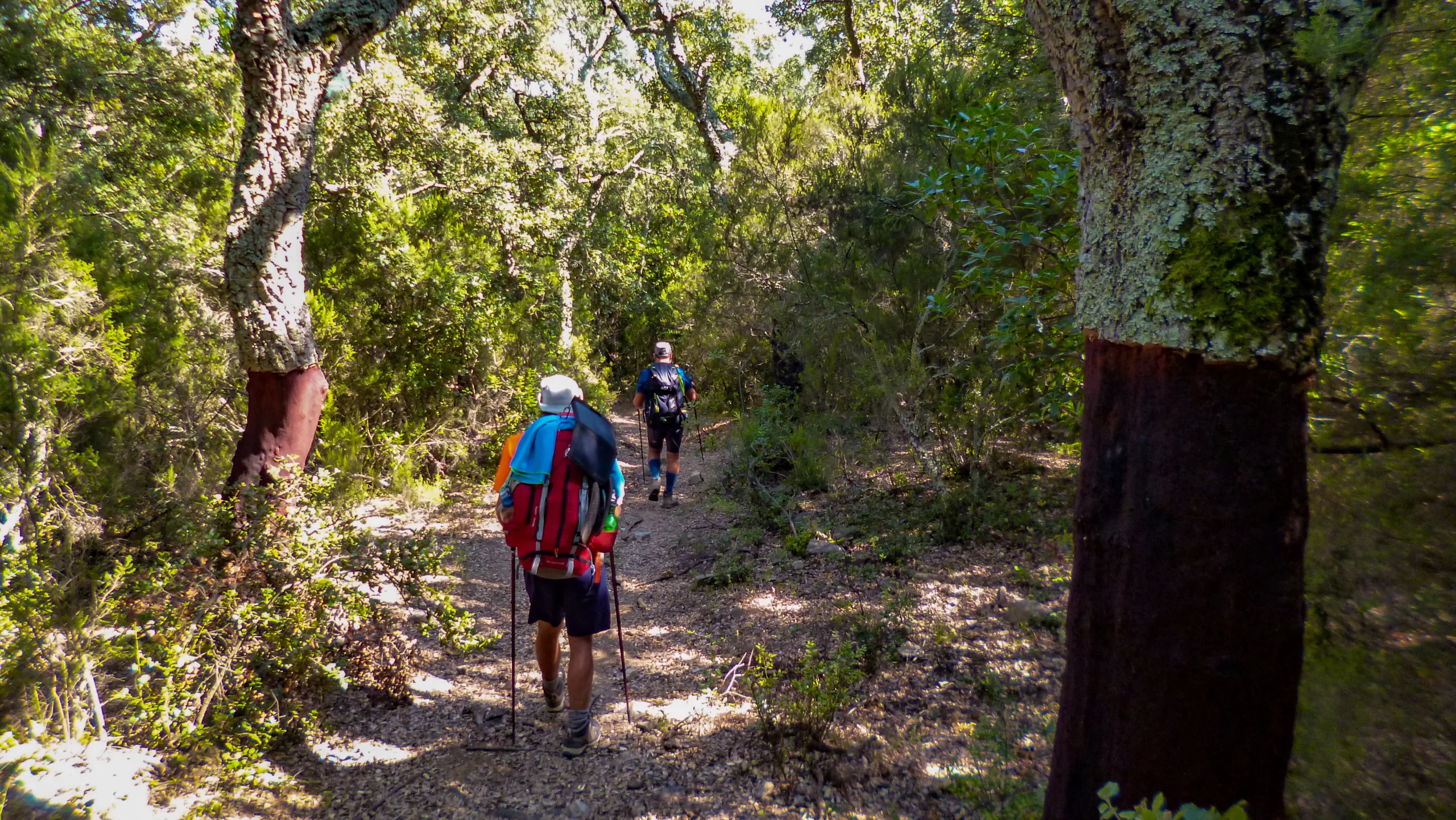
As the day unfolds, our path leads us past several sites of historical interest, now reduced to ruins. However, what truly captures our imagination are the beautiful and surprising cork oak forests awaiting us in the final stretch of the route.
Until we recorded this track, we hadn’t had the chance to encounter these magnificent trees in person. Since we don’t usually hike in these latitudes, our attention is constantly drawn to varieties of flora that are either completely new to us or that we have only ever admired in books.
USEFUL INFORMATION



DIFFICULTY AND EXPOSURE

Mountain Itinerary Information Method (MIDE)
The MIDE is a method used to assess the degree of difficulty and exposure of mountain routes, recommended by the Federation of Mountain and Climbing Sports (FEDME), among other federations. Its goal is accident prevention by unifying the criteria of technical and physical demands of the routes, resulting in a more objective classification.
Each MIDE information table consists of two columns: the left one contains reference information about the itinerary, such as duration, elevation gain, distance, etc. The right column displays information related to the different aspects of the route’s difficulty. The evaluation scale ranges from 1 to 5 (from lowest to highest).
This method provides basic information in a changing environment; therefore, we must keep in mind that terrain conditions can vary significantly. For this reason, it is always recommended to check the state of the route before setting out.
ROUTE PROFILE
Explore the route profile
- The profile synchronizes with the track to analyze the evolution of the elevation along the route.
- Select any point on the track on the map to see it projected on the profile.
- Click on the reference points for their recognition and positioning on an external map.
ROUTE DESCRIPTION
ASCENT TO FERRERÓS
We set off from the Camí de Maçanet, located just north of Albanyà, heading east along the southern base of Puig de Sant Pere. Right after leaving the last buildings of the town behind, and just a few meters before the paved road merges with Carrer de Figueres at the bridge crossing the Clot de la Canova, we leave the street behind, taking the track that delves north into the wooded valley.
Reaching the bottom of this small valley, the track bends east. Maintaining our bearing, we tackle the slope closing off the valley head-on, following the trail that starts right at the curve. This path emerges at a track junction next to a rocky outcrop, where we continue along the track ascending to the northeast. Taking a couple of shortcuts, we eventually orient ourselves northward and push on until we gain the upper reaches of the sierra.
At the high crossroads, we choose the branch heading north-northeast down the opposite slope. Following this route, a chain blocking vehicle access soon greets us at the gates of the Coll de Ferrerós (Ferrerós col). At the col’s intersection, we take the northbound track, guided by the signpost on the right, and begin a brief descent while skirting the promontory to our left. The track hugs the sierra’s contours, seeking the highest possible line until we reach the small col situated south of the Grau—a name some maps assign to the eastern false summit of Puig de Sant Feliú.
THE RIDGE TRACK
Cutting across the eastern slope, we trace an ascending arc to the northeast and turn over the ridge to access the northern face. From there, we climb westward until positioning ourselves on the small col separating the false summit from the promontory that forms the northern shoulder. Tucked away in this space sits the hermitage of Sant Feliú de Carbonills, though it remains hidden from our vantage point on the trail.
Pushing forward, the track weaves through the trees toward the eastern slope of the Puig. The route begins to skirt the peak to the north, leaving the summit to our left. Slipping through the designated passage next to a metal gate that blocks the main way, we navigate a series of rolling ascents and descents until arriving at the southern approach to the Coll de Can Roquil. At the fork just before the col, we stick to the right on the main track, advancing north until we step into the clearing. At the col’s junction, we take the northeast path, which bypasses Puig de la Trilla on its eastern flank. The alternative route here leads to the Refugi de la Trilla.
We begin our detour around the Puig by carving a northbound arc, culminating in an ascending switchback on the southeast ridge. Afterward, we traverse the eastern slope, maintaining our elevation, before finally veering northwest to arrive at the Collada de la Trilla, situated in a sprawling clearing.
DESCENT TO RIMALÓ
Sweeping across the clearing, the trail traces an arc from northwest to northeast, passing right by the ruins of La Trilla. Within a few meters, the path forks, and we continue northeast along the trail that drops into the forest, cutting sharply across the hillside.
Shortly before reaching the thalweg of the first gully on the slope, we cross a forestry track absent from our maps, picking up the trail on the opposite side without altering our course. Moving steadily, we navigate the next gully and turn east to position ourselves on the shoulder hosting Puig de Rovirós.
Dictated by the rugged terrain, the path swings north to run beneath the ridge that slopes gently down from the heights crowned by the Mare de Déu del Fau hermitage. As soon as we reorient eastward, we take the left-hand trail at the fork, and within minutes, we gain the ridge.
Turning north onto the opposite face, we descend eastward, threading the needle halfway between the gully’s trough and the ridge line. Emerging from the ravine, the path widens, and we break out of the dense forest near the ruins of Rimaló. Leaving these crumbling walls behind, we step onto a compacted dirt track. Setting a northern bearing, we bear northeast at the very first fork.
CONNECTION TO OLIVEDA
The track carves a double curve; the first opens eastward and links to a tight northwest bend, preceding an arc that skirts the promontory holding the ruins of Corral d’en Puig. Just as this arc begins, we abandon the main track for the left-hand trail, plunging into a descent toward the bottom of the gully. Hitting the hollow, the trail executes a sharp switchback and continues shedding elevation on the far side until it meets the Clot del Cau.
We advance roughly 200 linear meters along the left bank of the streambed in a northeast direction, eventually resuming our climb on a path that broadens into a narrow track. Veering east, we choose the ascending trail at the fork, which hooks north up a steep ramp, delivering us to a track that traverses the hillside at a higher elevation.
Following the track northward, a half-kilometer push connects us with the route heading east toward the Coll d’Oliveda (Oliveda col).
At the col’s intersection, we march straight ahead onto the track that sweeps downward to the southeast. Taking the northeast branch at the next fork, we descend until merging with the track arriving from Sant Andreu d’Oliveda. Pivoting north, a couple of bends later, the dirt gives way to asphalt as we stroll into the village.
BETWEEN TRACKS AND FORESTS
Leaving Oliveda behind via the paved road, we take the first track on the right heading east, following it all the way to the valley floor. Shifting our bearing north, we drop down to the river’s level, crossing to the opposite bank over the bridge next to the Molí d’en Robert.
Climbing toward the parking area, we leave the swimming pool on our right and turn right onto the first track, circling the building. Immediately past the structure, we ditch the track for a trail that plunges northeast into the woods. Breaking out of the timberline at the upper edge, we hike alongside the tree boundary until intersecting another track.
The track continues north for a few meters before splitting. Veering northwest, we bypass the summit of Puig de la Guardia on our left, and in just under a kilometer, we reach the Pla de la Vinyosa junction. Holding our course, we press straight ahead until hitting the asphalt. Once on the pavement, we turn west and enter Carrer del Viver, walking past the Maçanet football pitch.
Strolling to the end of the street without altering our northwesterly trajectory, we eventually meet the main road. Crossing to the far side, we turn east to position ourselves safely on the correct shoulder of the highway.
THE AMAZING WORLD OF THE CORK OAK
We cross the bridge on the left side of the road, following the tarmac until we reach the dirt track branching off from the curve at the end of the straightaway, right by the picnic area. This track dives into the grove, tracing an arc from northeast to east around a building. Although the main path then swings north, the GR11 abandons the track, taking the trail that shoots off from the apex of the curve on a northeast bearing.
Stepping into a gorgeous cork oak forest, we find ourselves navigating a network of intersecting trails and marked mountain bike tracks. Guided by the unmistakable GR blazes, we emerge back onto the road directly beneath the vertical drop of Puig del Solà de Sant Pere.
We cover about 100 meters on the asphalt heading east-northeast before ducking off onto the first path on the right. Back in the mixed forest, our eyes are inevitably drawn to the striking, reddish trunks of the stripped cork oaks. The trail traverses the heights of Bac de Can Sunyer to the south, descending toward the Clot de Mossen Roure via two consecutive diagonals that point us east again. Crossing the streambed, we make a sharp U-turn onto the left-hand path at the junction, eventually realigning ourselves to the north-northeast.
After advancing roughly 200 linear meters from the channel, the path shifts its tendency eastward. Following a northeast bend, it spills out onto a track. We push southeast until hitting the main road, crossing the bridge to the east. Leaving the pavement behind with a sharp turn onto the first track on the left, we begin to gain elevation up the southwest slope of the initial buttress of Puig de la Creu.
SKIRTING PUIG DE LA CREU
Reaching the western ridge, we pivot southeast to embark on a long diagonal traverse that carries us beneath the shoulder of the buttress. The trail then hooks north-northeast, leading us to a track. By taking the right-hand path at the fork just past the crest of the shoulder, we find ourselves contouring the mid-slopes of Puig de la Creu.
We cross two gullies before arriving at the buildings of Les Avalls, home to the historic Mina d’en Negrín. Leaving the main structure in our wake, we stick to the right-hand track, marching northeast until we strike the road.
Once on the tarmac, we proceed southeast, completing our circuit around Puig de la Creu. The road initiates a northbound curve near the Camí del Cementiri and twists eastward once more after passing the first three buildings of La Vajol.
Strolling past the town hall, which we leave on our right, we continue just a few meters further along the road that skirts the northern edge of the village, finally bringing our journey to a close.
GR11 ALBANYÀ-LA VAJOL IN 360° AND VR
Enable full screen on the control panel
- Directional arrows on the screen
- Interactive map
- Step-by-step menu
Click the main button and drag the mouse to change the perspective
Dual navigation via directional arrows or mobile markers for previous/next image

BIVOUAC
Protected areas for spending the night outdoorsNot applicable

SHELTER
Facilities equipped for eating and sleepingThe Refugi de la Trilla is located halfway along the route.
Accommodation options are available at the start and end of the stage.

WATER POINT
Drinking water refill pointsThere are streams along the way (supply and potability not guaranteed).
Refill options available in the towns along the route.

CAUTION
Areas requiring increased caution due to objective risksNone observed

SAFETY
Anchors, belays, and other safety elementsNone observed