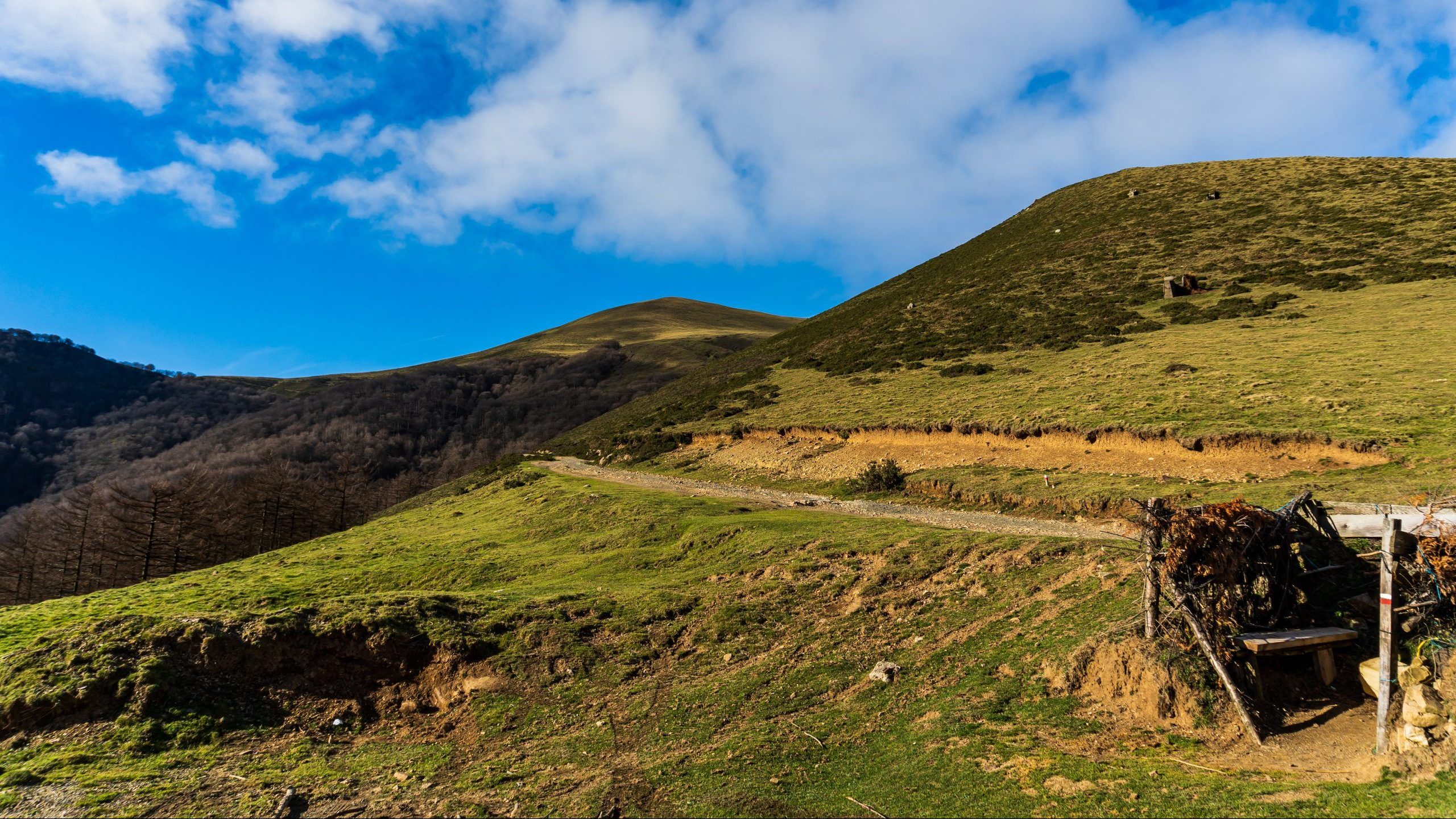
TREKKING AND HIKING LIKE YOU’VE NEVER SEEN BEFORE

The Street View of mountain sports

The trekking and hiking routes you will find below have been recorded entirely using immersive technology. Each route is fully visible through a 360º x 180º panoramic image tunnel and incorporates an interactive map for easy navigation. Furthermore, the tunnel offers the possibility of viewing it using VR headsets.

You can access the routes by clicking on the icons shown on the map or, if you prefer, through the individual profile cards.

Suscription

Get notified by email every time we publish a new route.
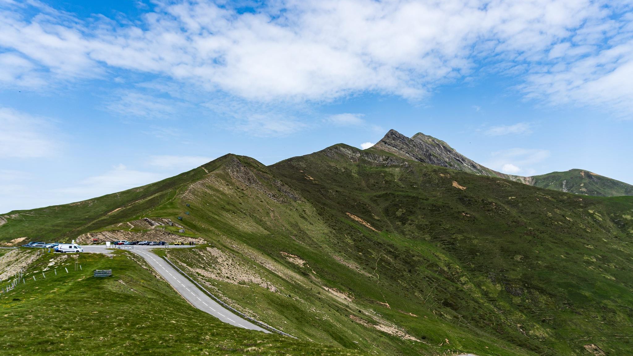
Plan your trekking and hiking routes
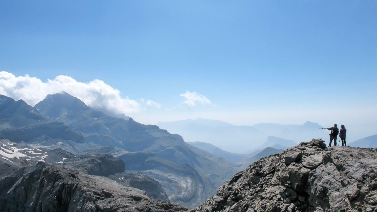
trekking

Basic Info

Real-time weather and snow conditions

Motor vehicle access directions from your location

Downloadable GPS track of the displayed route in GPX format

MIDE Route Difficulty Rating

Section-by-section route description

Overview of bivouac areas, mountain shelters, water points, caution areas, and available safety resources

Multimedia track visualization and climb elevation profile

Immersive experience

Visualization of the itineraries in a panoramic tunnel format, from the base to the summit.

VR headset compatibility for route visualization

Navigate via directional arrows, panorama-by-panorama, section-by-section, or using the interactive map.

Information integrated directly into the view