
THE TRANS-PYRENEAN GR11 IN 360º AND VIRTUAL REALITY
As if you were right there
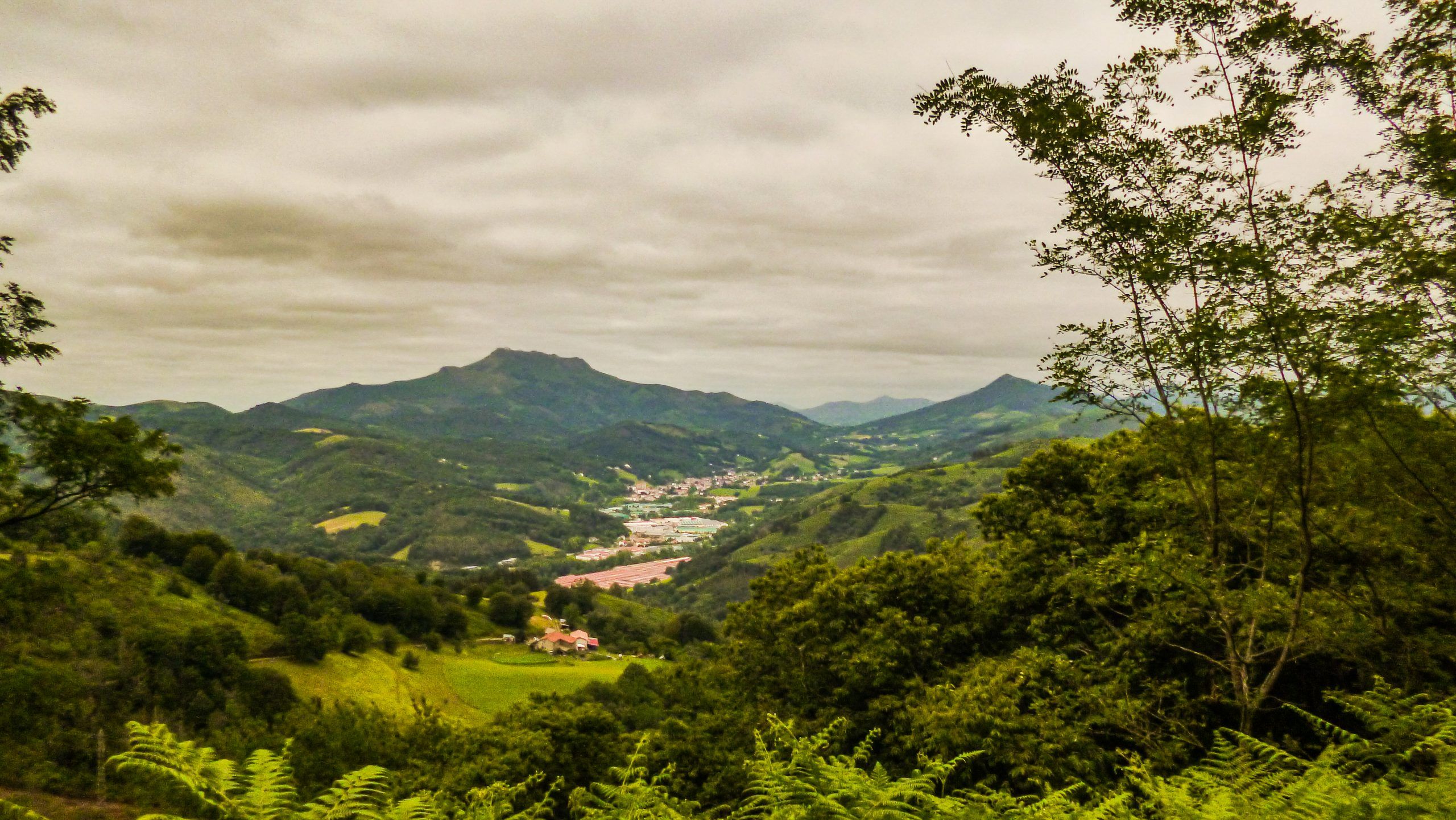
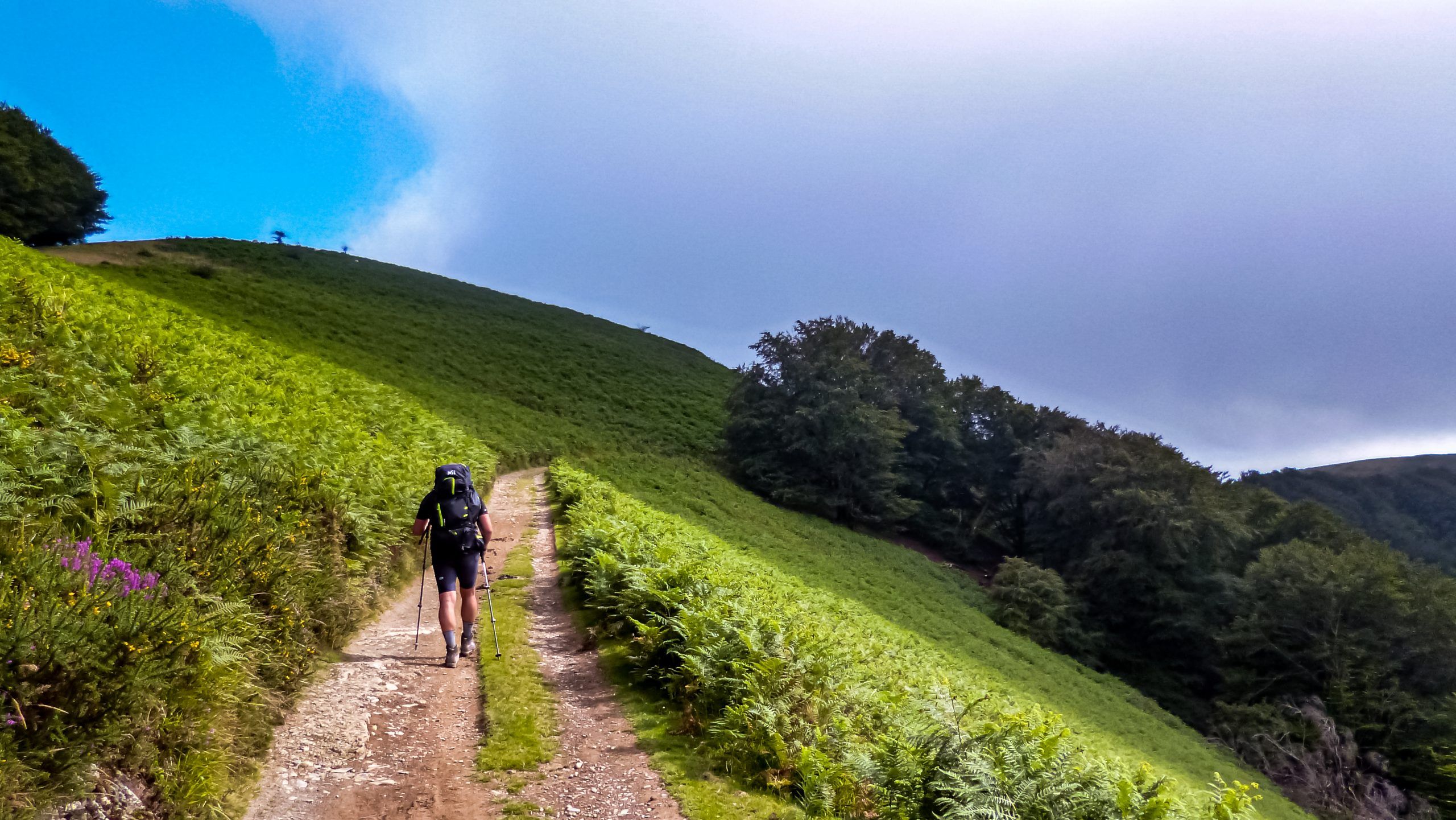
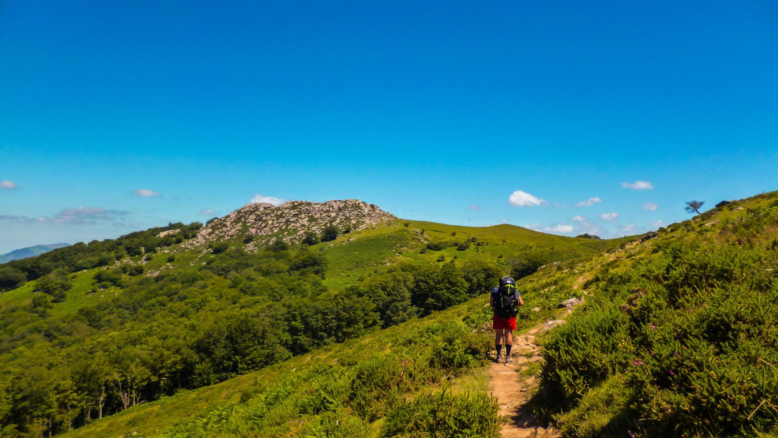
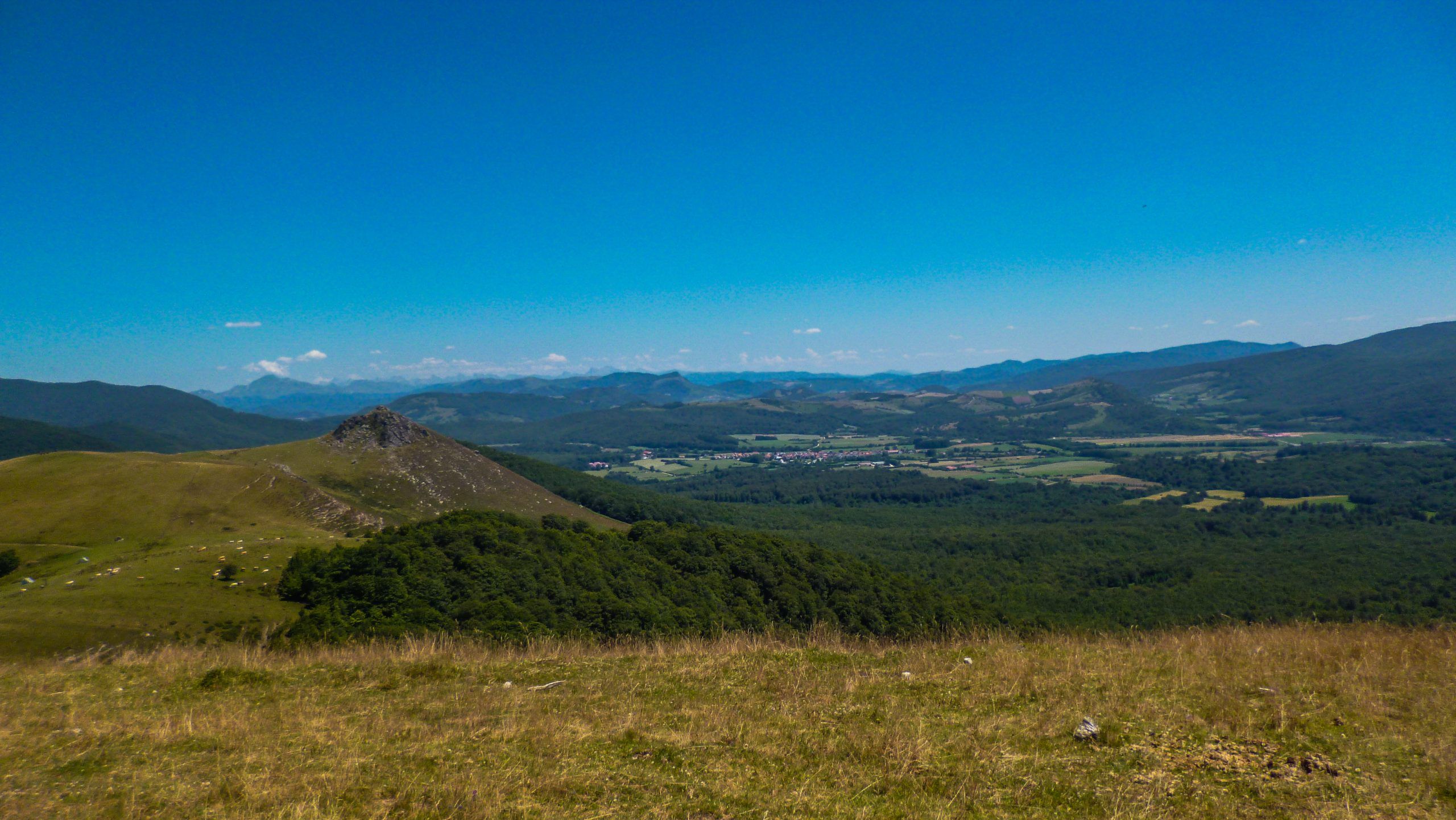
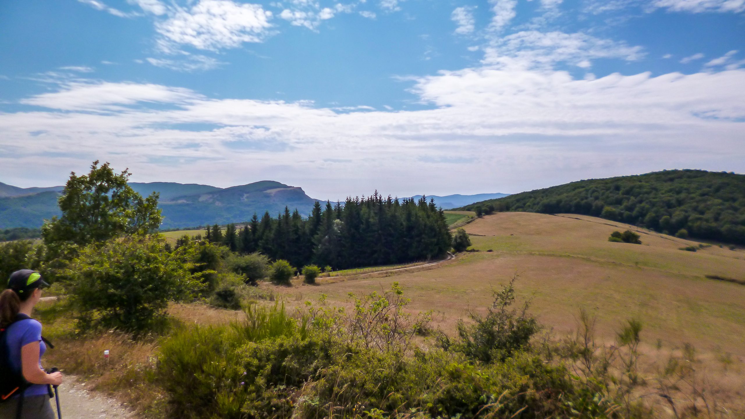
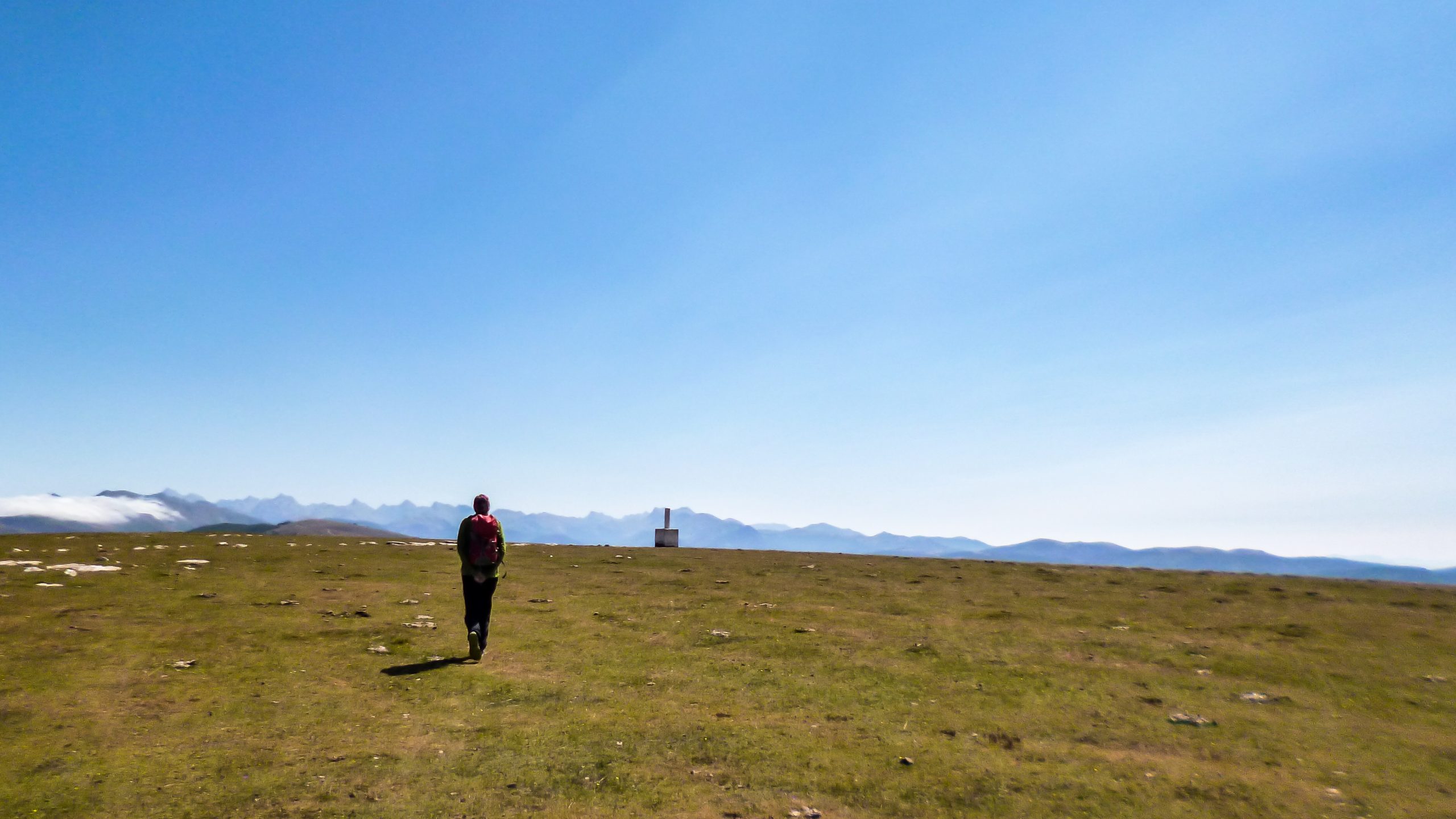
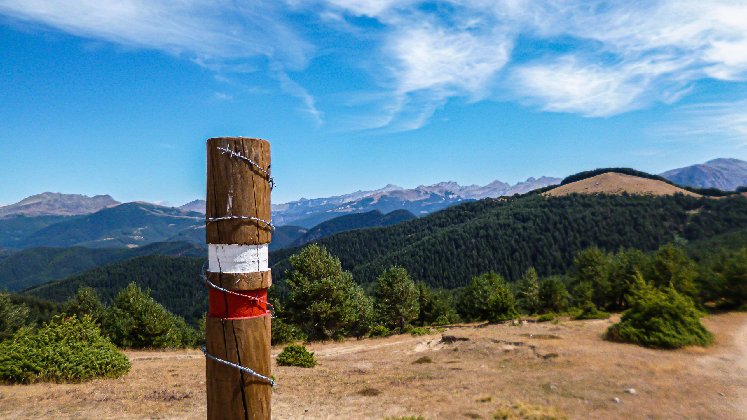
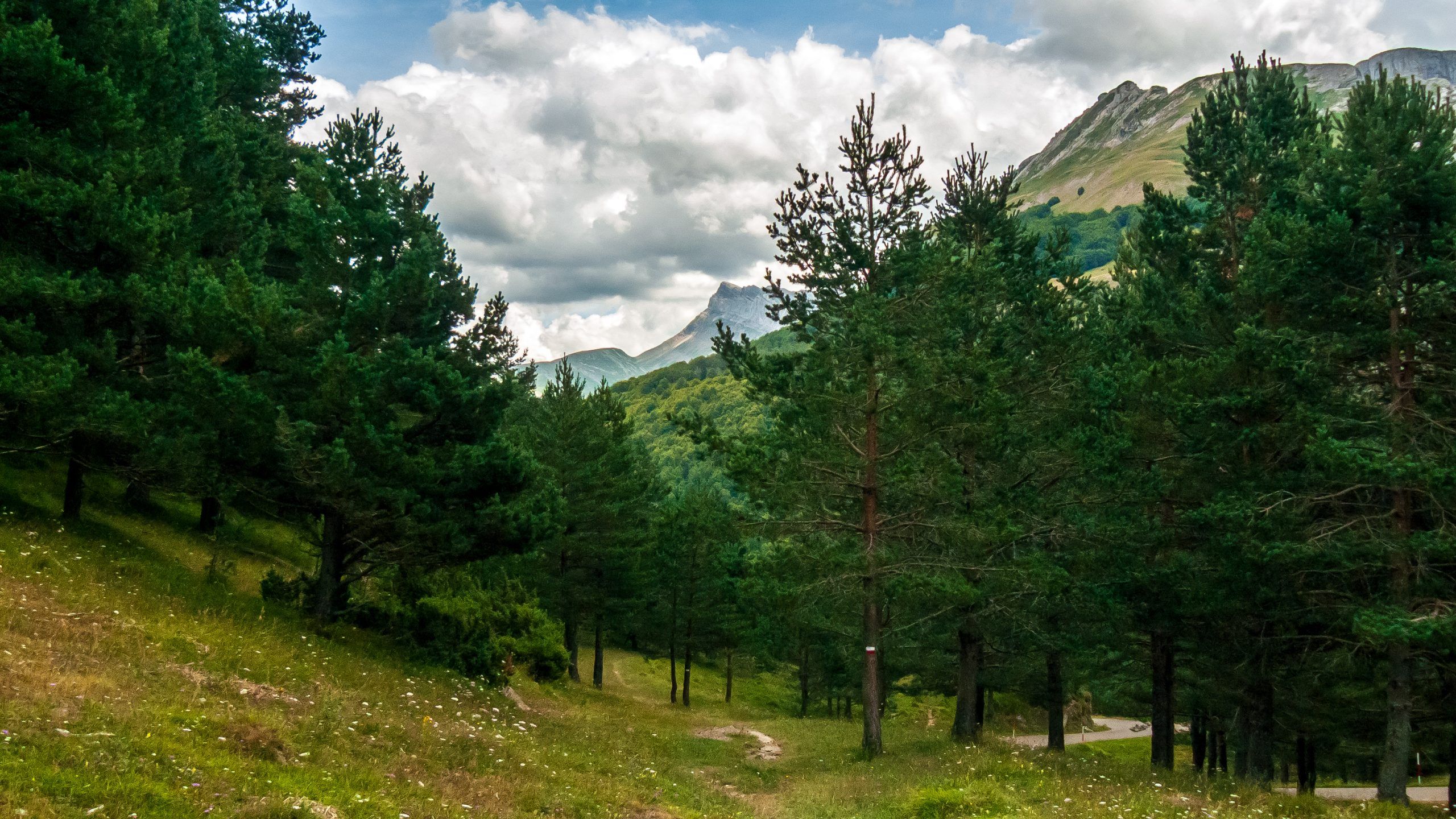
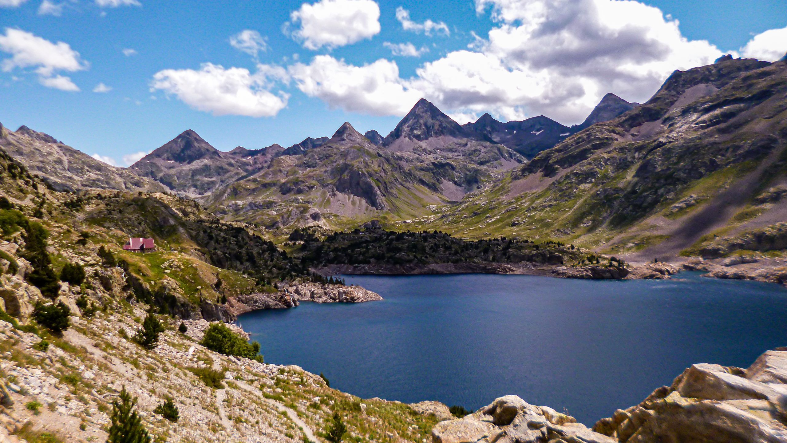
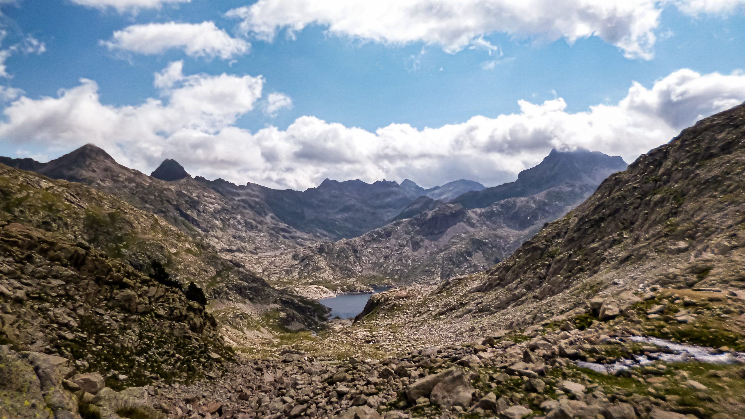
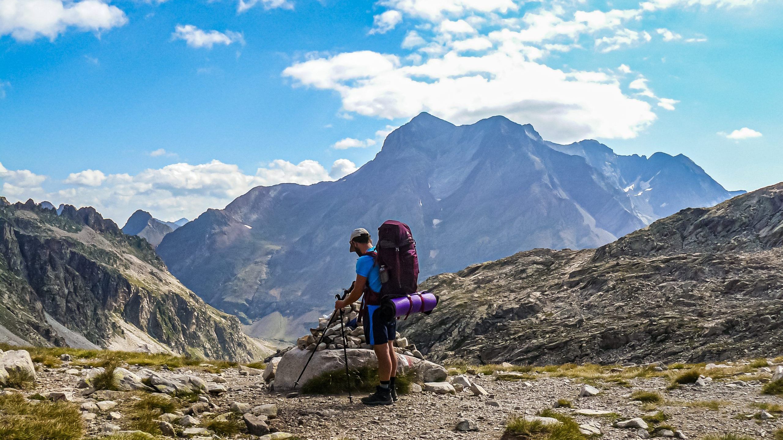
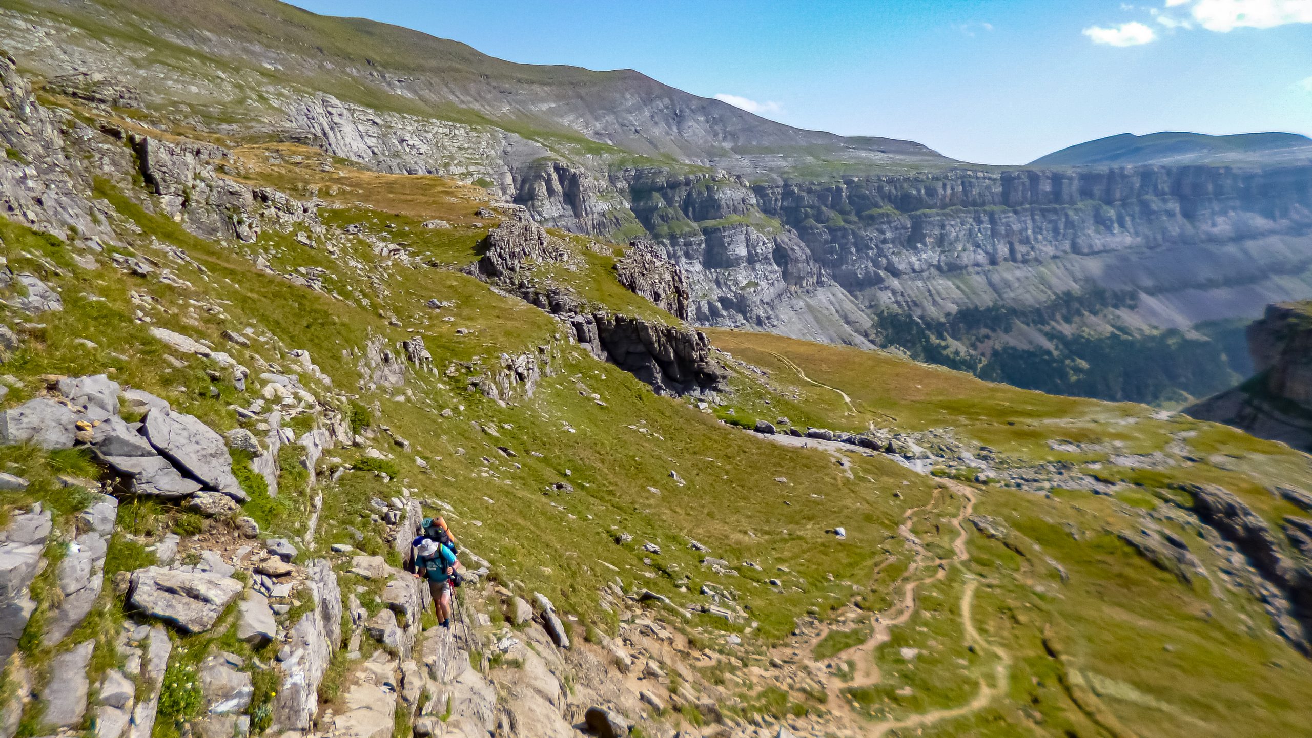
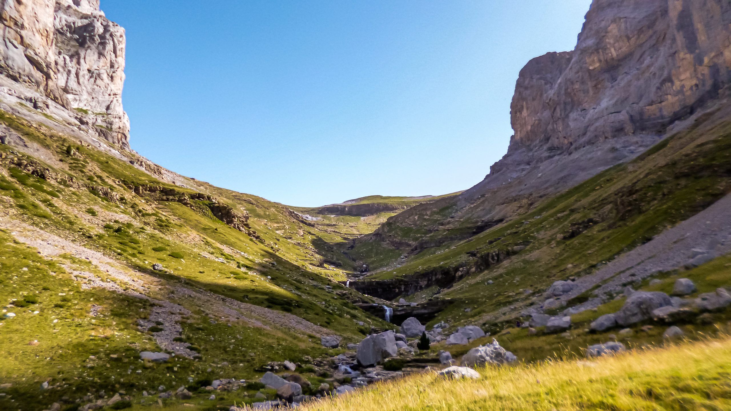
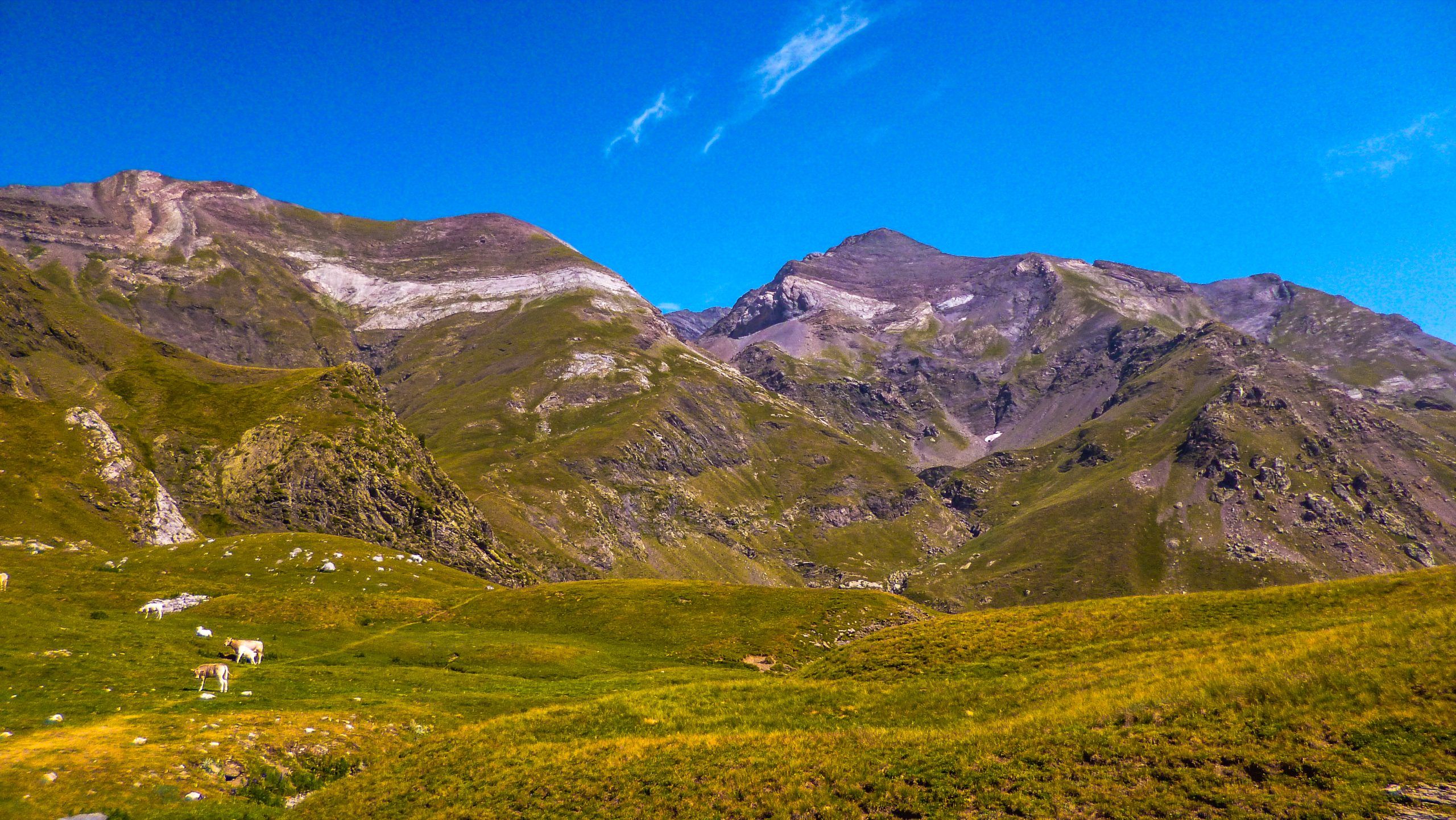
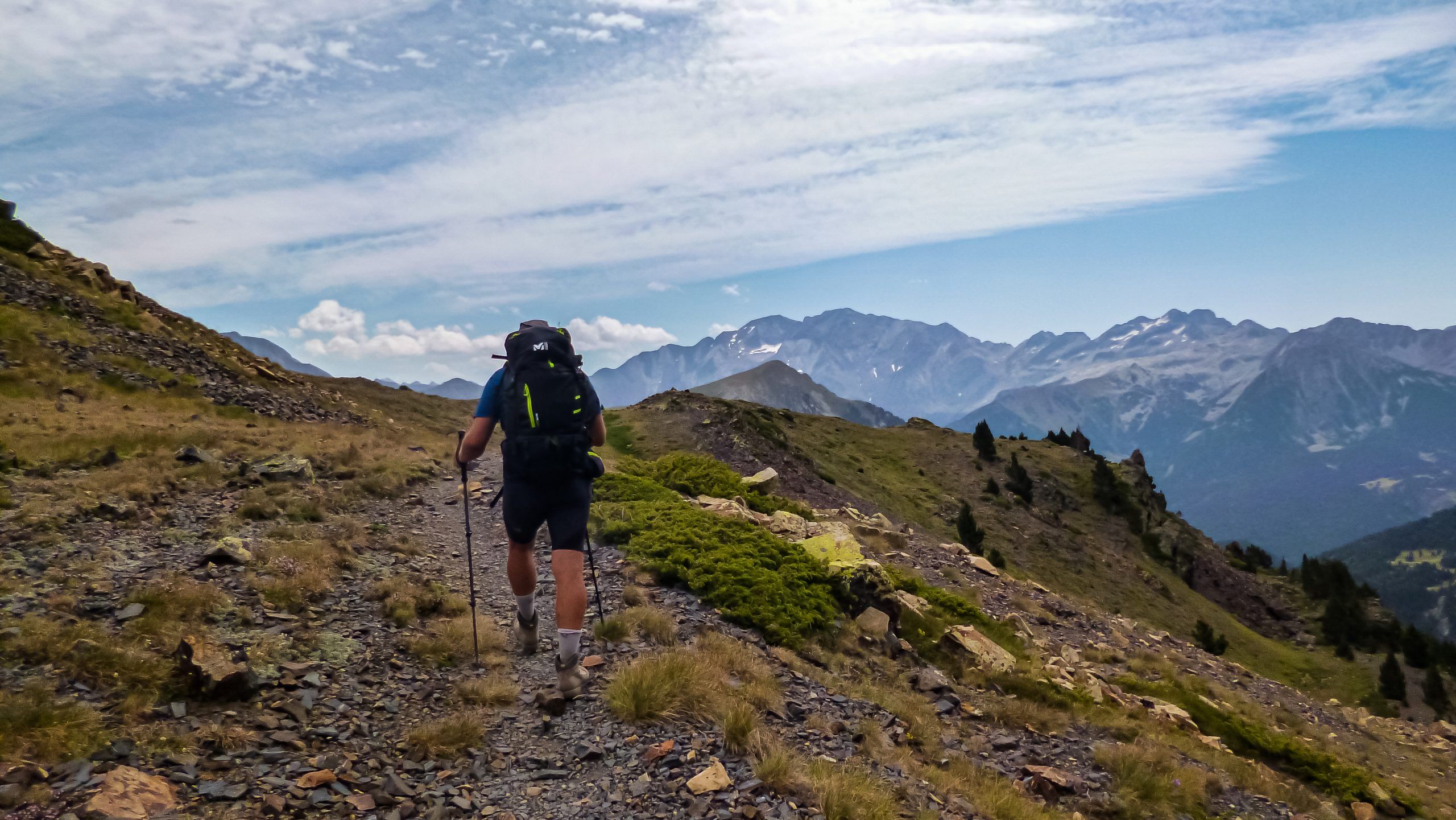
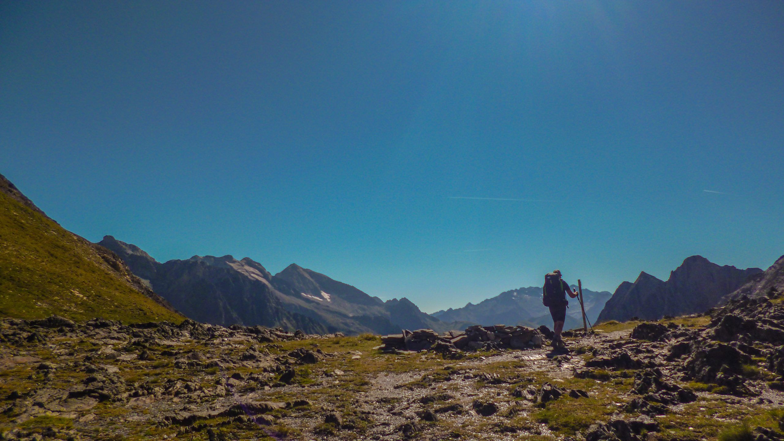
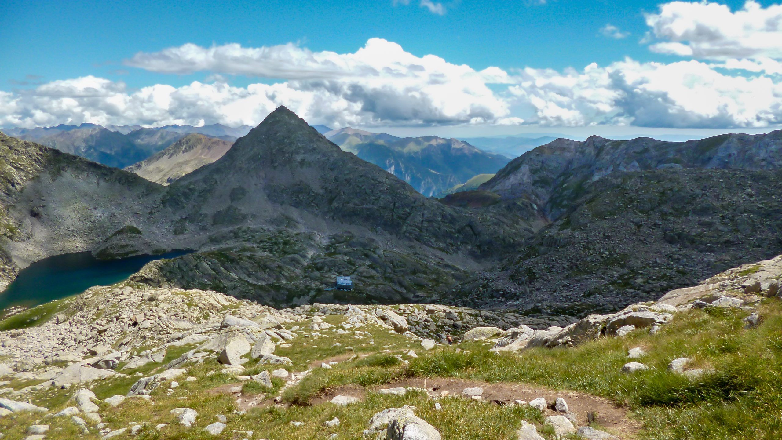
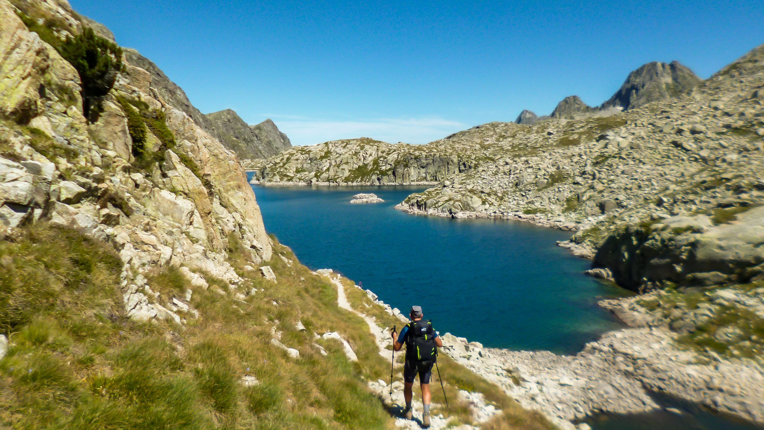
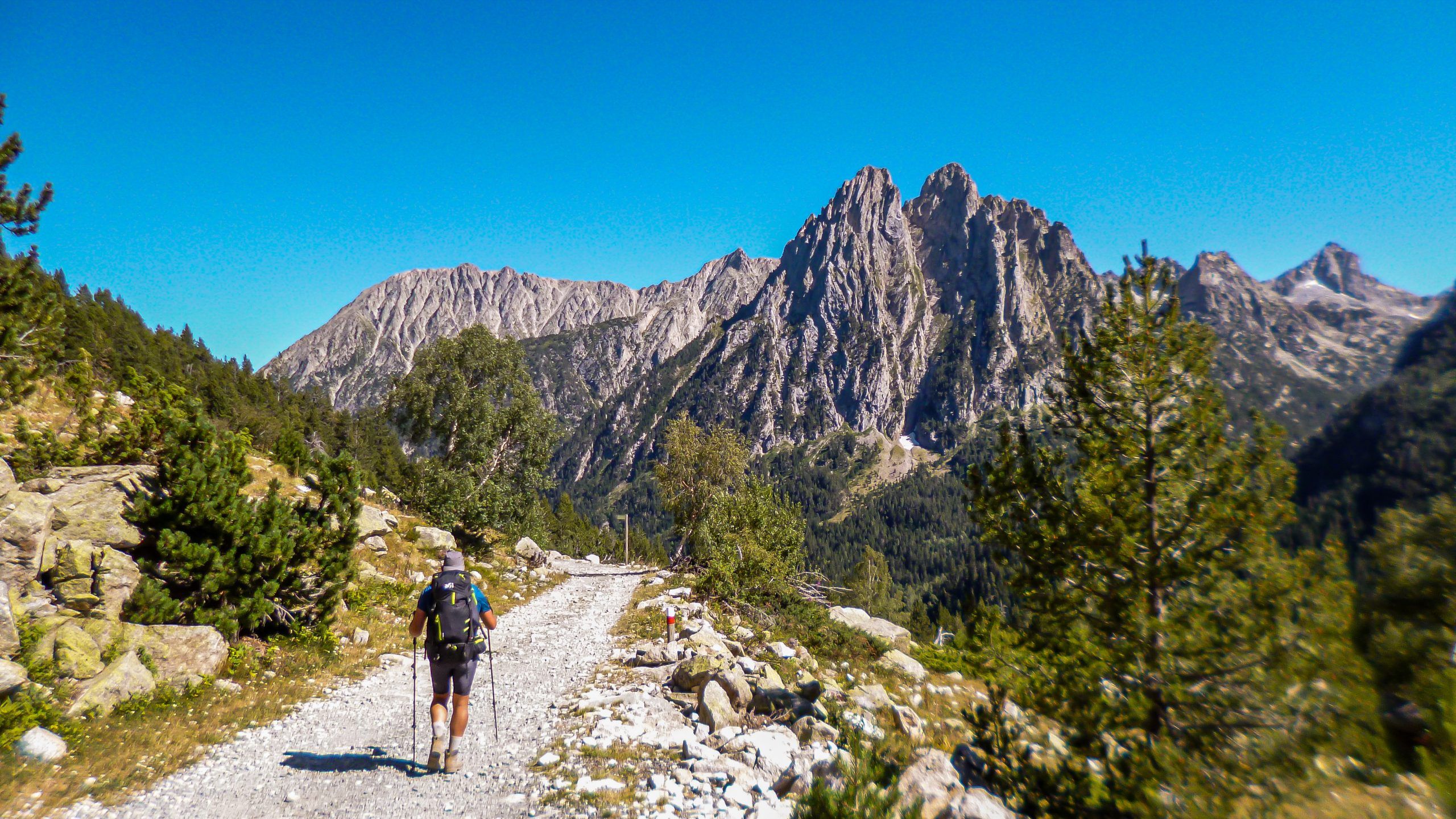
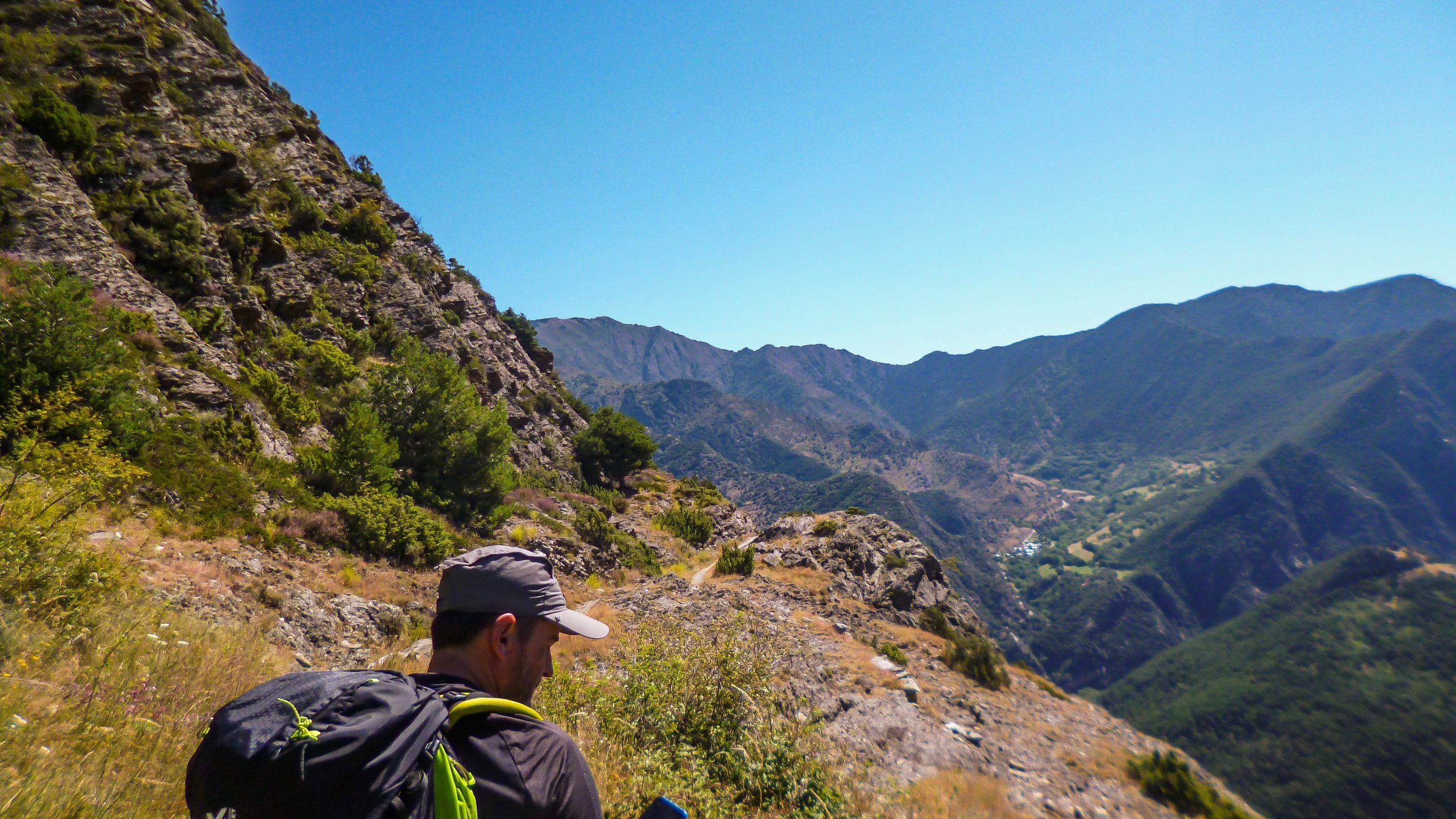
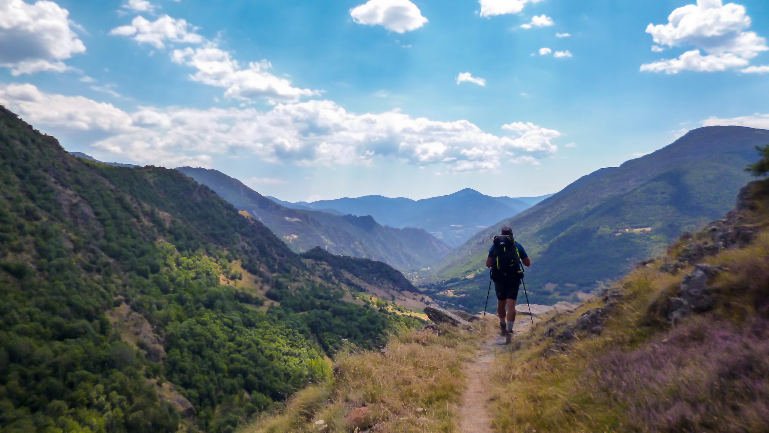
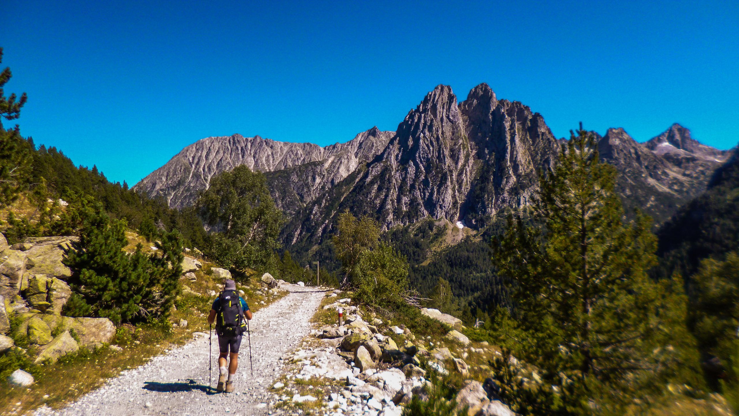
One of the most active major routes in Europe, and that’s saying a lot. Every year, hundreds of mountain enthusiasts cover its approximately 800 km walking, running, cycling, and even on skis. Some have even dared to complete it by paraglider.
Be that as it may, crossing the Pyrenees from sea to sea is something you must do at least once in your life. And if it can be done in one go, the experience is one that leaves a lasting mark. But to talk about experiences, we already have a blog…
What you will see here is the entire route in an immersive format, in the purest “StreetView” style. An image every 50 linear meters so you don’t miss a single detail of each stage in a unique 360º x 180º view and virtual reality. Furthermore, as usual with TreckView, you will have all the necessary information at hand so you can plan your itinerary, even in real time.
You can access the routes by clicking on the icons displayed on the map or, if you prefer, through the individual stage cards.
Subscription
Get notified by email every time we publish a new route.
Plan your stages of the Trans-Pyrenean GR11
Basic Info
