Stage 42 of the GR11 Trans-Pyrenean Route Villamaniscle-El Port de la Selva
The Villamaniscle-El Port de la Selva stage offers a moderate journey, with both our elevation gain and loss remaining under a thousand meters. As we make our way, forest tracks dominate the terrain, occasionally giving way to narrow trails, dirt paths, and stretches of paved or cemented roads.
Undoubtedly, the true reward of today’s trek lies at the finish line. Even though we still have one more day before reaching the easternmost tip of the route, arriving at the Mediterranean fills us with a profound sense of accomplishment. We have finally achieved our primary goal: crossing the Pyrenean range from sea to sea.
Adding to this triumph is the visual feast provided by the imposing Monestir de Sant Pere de Rodes, along with the nearby medieval settlement of Santa Creu de Rodes. Both historical sites practically demand a visit once we conclude our trans-Pyrenean adventure.
USEFUL INFORMATION



DIFFICULTY AND EXPOSURE

Mountain Itinerary Information Method (MIDE)
The MIDE is a method used to assess the degree of difficulty and exposure of mountain routes, recommended by the Federation of Mountain and Climbing Sports (FEDME), among other federations. Its goal is accident prevention by unifying the criteria of technical and physical demands of the routes, resulting in a more objective classification.
Each MIDE information table consists of two columns: the left one contains reference information about the itinerary, such as duration, elevation gain, distance, etc. The right column displays information related to the different aspects of the route’s difficulty. The evaluation scale ranges from 1 to 5 (from lowest to highest).
This method provides basic information in a changing environment; therefore, we must keep in mind that terrain conditions can vary significantly. For this reason, it is always recommended to check the state of the route before setting out.
ROUTE PROFILE
Explore the route profile
- The profile synchronizes with the track to analyze the evolution of elevation changes throughout the hike.
- Select any point on the track within the map to see it projected onto the profile.
- Click on the waypoints to identify them and view their exact position on an external map.
ROUTE DESCRIPTION
ASCENT TO COLL DE LA SERRA
We begin the Villamaniscle-El Port de la Selva route exactly where we concluded our previous stage, specifically at the intersection located at the town’s entrance along the road arriving from Rabós.
Turning right onto the asphalt, we follow the directions on the signpost situated next to the fountain and head up the street. Passing by the Castillo de Villamaniscle, we veer East-Northeast (ENE), continuing along the road until we reach the northeastern exit road of the village.
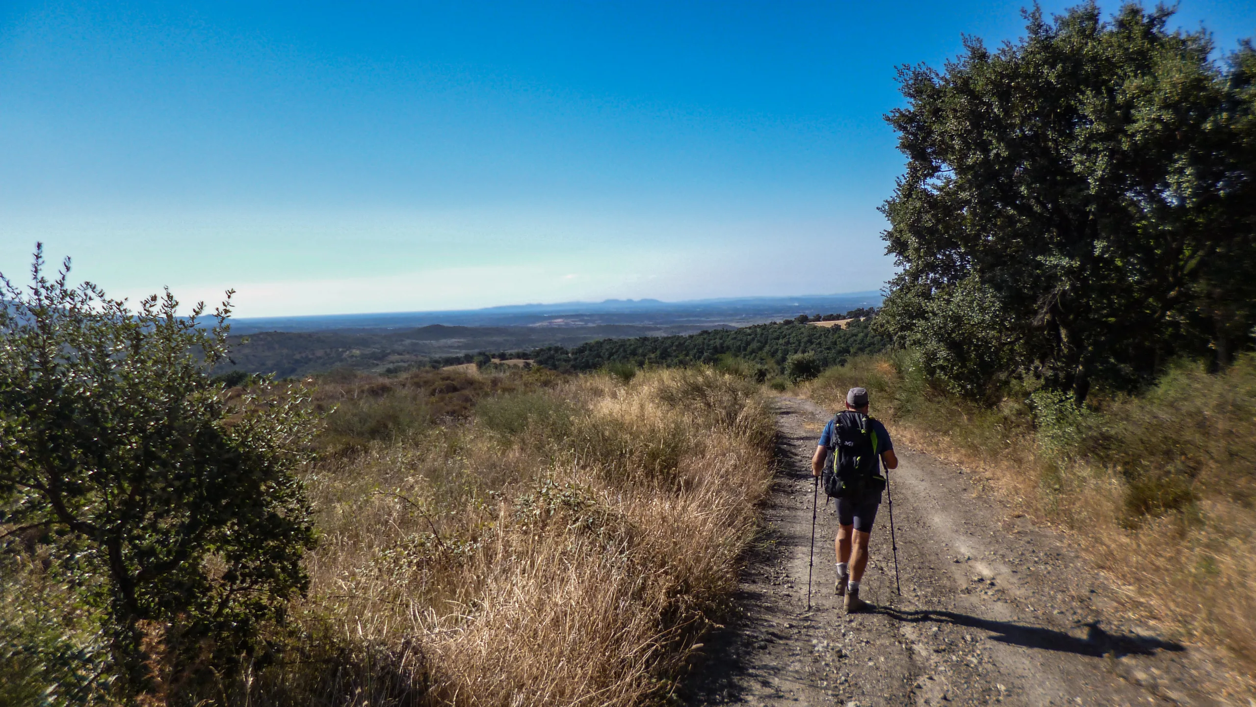
Just a few meters before leaving the last houses behind, we pass another fountain and exit the urban area onto a dirt track. Upon reaching the Coll de Closa junction, we proceed straight ahead on the main track. Skirting the right-hand promontory to the North, we arrive at the opposite col’s intersection (Coll del Quirc), where we maintain an eastward bearing along the primary track.
Tracing a gentle arc toward the Southeast, we soon reach the Coll de la Serra. At this junction, we make a sharp turn heading North-Northeast (NNE).
DESCENT TO SANT SILVESTRE DE VALLETA
The track shifts toward the South-Southeast (SSE), descending smoothly along the hillside between the Serra de la Baga d’en Ferran and the Riera de Valleta stream. After hiking along this track for about two kilometers from our mid-slope position, we leave the compacted dirt behind. This transition occurs roughly when we align with the base of the ridge situated between Puig del Llop and Puig Tifell, just across the river.
The exit onto the trail is not clearly marked (as of 2020), but it lies on the tangent of a sharp curve bending toward the South-Southwest (SSW). A cross painted on a smooth rock to the right of the track warns us that we need to backtrack a couple of meters. Alternatively, we could simply follow the track all the way down to the riverbed and then resume a Northwest (NW) heading to reconnect with the GR11.
Stepping off the track, we descend along the ridge through dense vegetation, eventually arriving at the junction that provides access to the Sant Silvestre de Valleta hermitage, nestled right beside the riverbed.
CLIMBING TOWARD COLL DE LES PORTES
Continuing to the right, we follow the signpost’s directions and accompany the river downstream until we hit a crossroads. Taking the branch that heads Northwest (NW) by making a hard left turn, we begin to gain elevation as we delve into the valley leading toward Puig Tifell. The track gradually curves Northeast (NE), wrapping around the right-hand promontory and approaching the slope that encloses the valley.
Reaching the far slope, we proceed East-Northeast (ENE) at the junction to draw closer to the Southwestern face of Puig Tifell. We traverse the hillside from side to side, initially contouring the terrain before pushing upward to finally reach the Coll de les Portes.
DESCENT TO LLANÇÀ
Crossing the cattle grid at the col, we start traversing the southern slope of Puig Tifell toward the East. We use the summit of Sant Salvador Saverdera as our visual reference; it stands out prominently to the Southeast and marks a peak we must pass near before concluding our stage in El Port de la Selva.
Arriving at the opposite ridge, we stick to the main track at the junction, which bends Northeast (NE). Without quite reaching the slope’s central gully, it descends along the eastern spur. The dirt track briefly transitions into a cemented section ending right in front of Puig de la Folguera, after which it leaves the spur’s ridge by veering Southeast (SE).
Pressing straight ahead through every intersection we encounter, we eventually reach the train tracks. Passing safely to the other side via a tunnel, we walk until we hit a junction near what appears to be an industrial complex. Shifting our bearing to the Northeast, we continue along a gravel path until the first ramp on our right grants us access to the main road.
Crossing the asphalt, we enter the street running past the Oficina de Turisme (Tourist Office), maintaining a Southeast heading. At the first roundabout, we take the right-hand exit. Keeping the playground to our right, we stroll forward until we reach the pedestrian crossing leading into the western parking lot of Llançà.
CLIMB TO COLL DE PERER
Beyond the pedestrian crossing at the western parking lot, we turn down the first street heading South-Southeast (SSE)—the last built-up road—and follow it to the roundabout. Entering the roundabout on the right-hand sidewalk as we ascend, we spot two dirt paths leading straight ahead toward the SSE before even reaching the first exit. While the path closest to the exit climbs the hill directly, the official GR11 trail is the one to its right, accessing the valley through the basin.
Stepping onto the dirt path, we begin to gain elevation with the streambed running parallel on our right. After crossing to the opposite bank of the stream, the trail swings South, guiding us to the starting point of the ridge that separates the gullies of Ribera d’en Prim (on our left) and Rec de Venturet (on our right).
Fording the stream to the left, we start ascending the ridge via a rocky trail, initially bordered on both sides by a low stone wall. As the gradient steepens, the path narrows, yet the terrain underfoot becomes surprisingly more comfortable. In its upper third, the route leaves the ridge and edges toward the center of the gully, ultimately emerging at the Coll de Perer.
THE PATH TO RODES
At the col’s junction, we pivot Southwest (SW) and tackle a steep slope that delivers us to the upper reaches of the Serra del Coll, crowned by a large cairn. Stepping onto the track, we follow it South to bypass Puig de la Granja on its western flank. Skirting the next promontory, we stay on the track as it curves from East to South, aiming for the road access higher up.
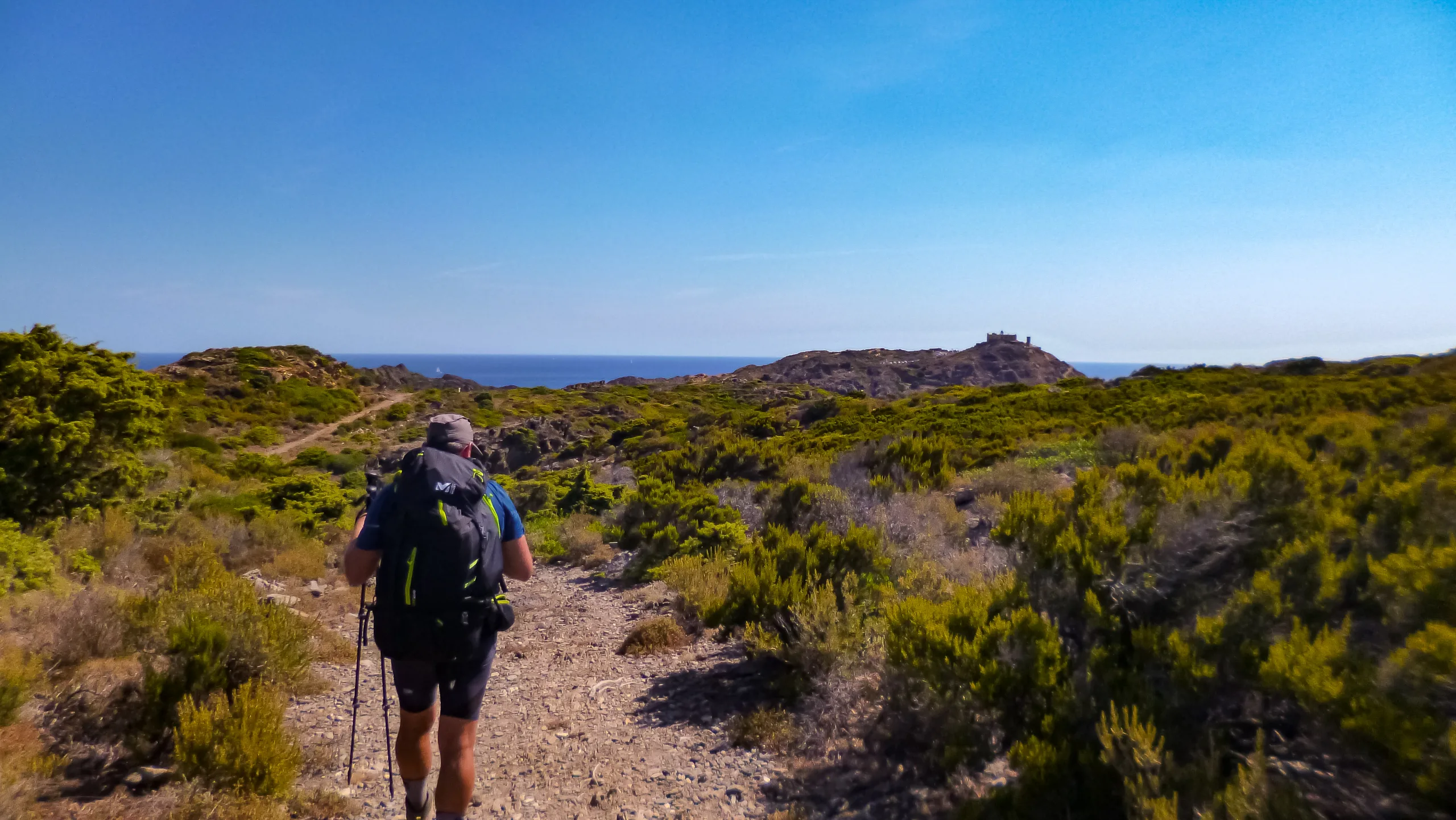
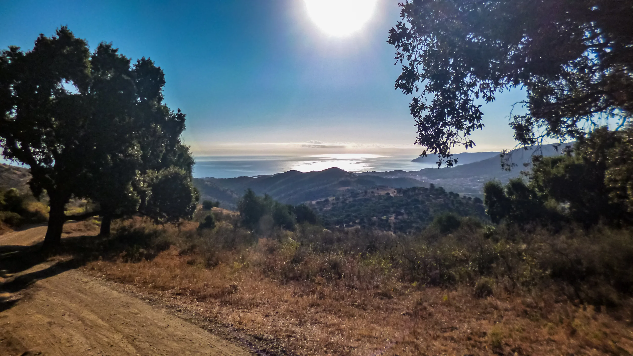
Walking past the Aparcament de la Pallera, we push forward on the asphalt heading Southeast. Along this stretch, we are treated to sweeping views over El Port de la Selva and a rugged coastline stretching from Llançà almost all the way to Roses.
Leaving the monumental complex of Santa Creu de Rodes perched higher up on our right, we arrive at the public parking area closest to the monastery. From this point onward, vehicular traffic is strictly prohibited.
Within minutes, we find ourselves standing before the main entrance of the Monestir de Sant Pere de Rodes. On the landing just outside the doors, a set of stairs descending to our left grants us access to the path that wraps around the northern side of the monastery.
DIZZYING DESCENT TO LA SELVA DE MAR
Following the trail and making a northward turn, we reach the Aparcament de Llevant, situated to the East of the complex. This parking area rests on a small plateau atop the ridge shoulder that precedes the Northeastern spur of Sant Salvador Verdera, sitting directly beneath the imposing castle that dominates the heights.
The trail plunging steeply toward the village of La Selva de Mar begins right next to the first parking space on the right, as we arrive from the monastery path.
We begin a sharp switchback descent down the rocky dirt trail, maintaining a general eastward bearing. In its lower third, the path drops through the hillside basin and spills out onto a track. Crossing it, we move to the opposite bank to distance ourselves from the riverbed, veering slightly East-Southeast (ESE) as the steep gradient finally begins to ease.
Arriving at the Església de Sant Sebastià, we skirt the church to the right. On the far side, a wide path flanked by low stone walls awaits, guiding us directly into La Selva de Mar.
Entering the village, we bypass the first buildings to the South and position ourselves on the street descending along the left bank of the Rec dels Gorgs. Pushing Northward (passing a fountain on our left), we reach the bridge, cross it, and maintain our heading down Carrer de Baix.
By this point, we have shed roughly 400 meters of elevation over just a couple of kilometers since leaving the Aparcament de Llevant.
HEADING TO THE COAST
The street curves East, and we exit it via the first narrow alley on our left to return alongside the riverbed. At the end of this alley, a trail leads us away from the village toward the Northeast, weaving between prickly pears and olive groves.
After crossing a wooded strip, the trail merges into a cobbled path, bordered on both sides, which climbs gently through cultivated fields until it meets the track we previously crossed during our descent.
Once on the track, we turn East-Northeast (ENE) and follow it until we stand at the road junction. Without stepping onto the asphalt, we round the curve to the right and take the path dropping toward the Southeast (SE).
This path empties onto a track that circles the sports complex, providing access to the local corrals. Taking a left on this track, we cross to the other side of the river. Resuming our previous heading, we soon reach the main road, leaving the football pitch behind on our right.
Upon hitting the main road, we veer Northeast and walk parallel to it along the pedestrian promenade until we arrive at the coastal intersection. Turning right, we finally conclude our stage at the parking lot of El Port de la Selva beach.
GR11 VILLAMANISCLE-EL PORT DE LA SELVA IN 360° AND VR
Enable full screen on the control panel
- Directional arrows on the screen
- Interactive map
- Step-by-step menu
Click the main button and drag the mouse to change the perspective
Dual navigation via directional arrows or mobile markers for previous/next image

BIVOUAC
Protected areas for spending the night outdoorsNone available on this stage.

SHELTER
Facilities equipped for eating and sleepingOvernight options are available at the beginning and end of the stage.

WATER POINT
Drinking water refill pointsThere are streams and fountains along the way (supply and potability not guaranteed).
Refill options are available in the towns.

CAUTION
Areas requiring increased caution due to objective risksNone observed

SAFETY
Anchors, belays, and other safety elementsNone observed