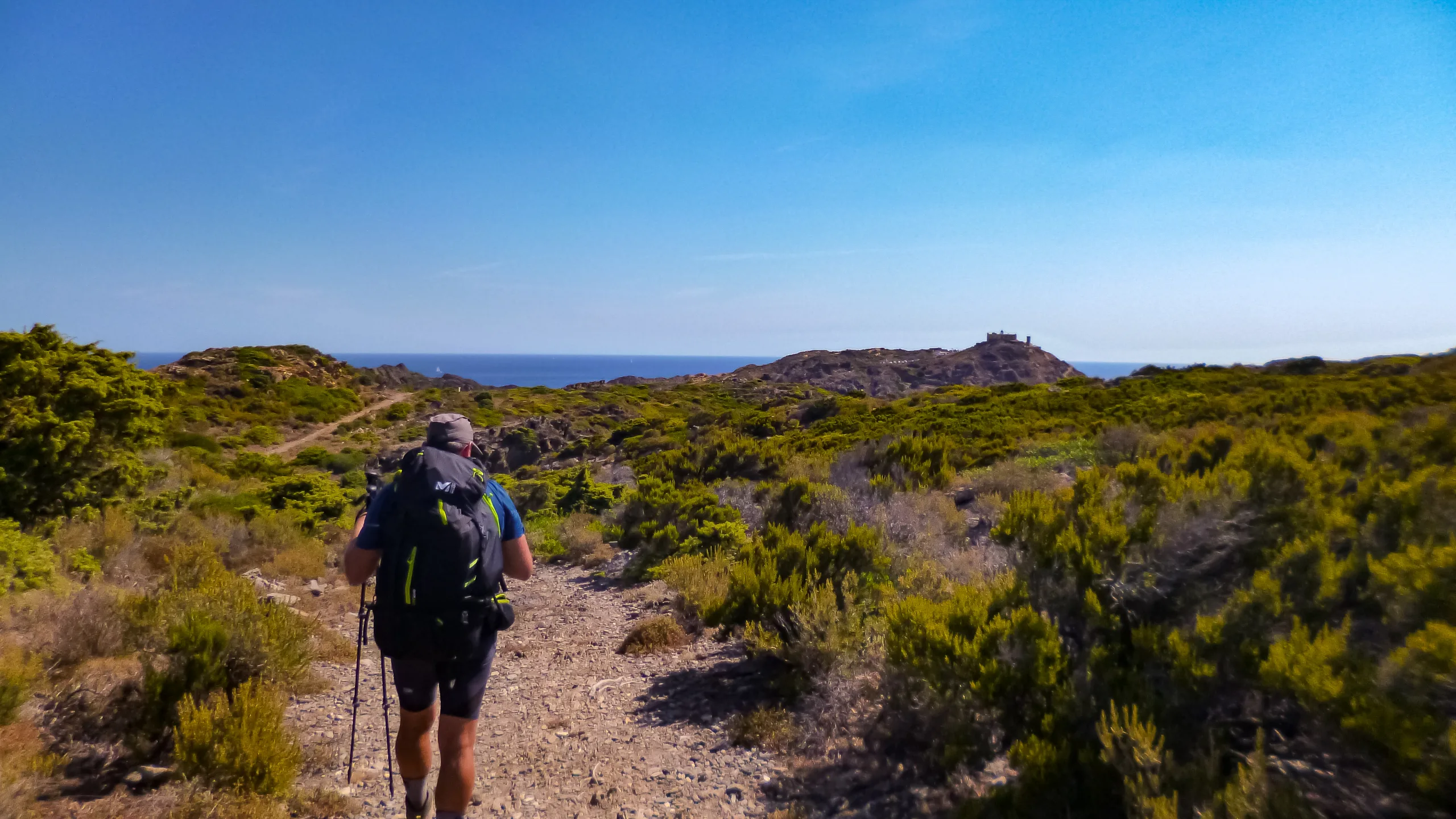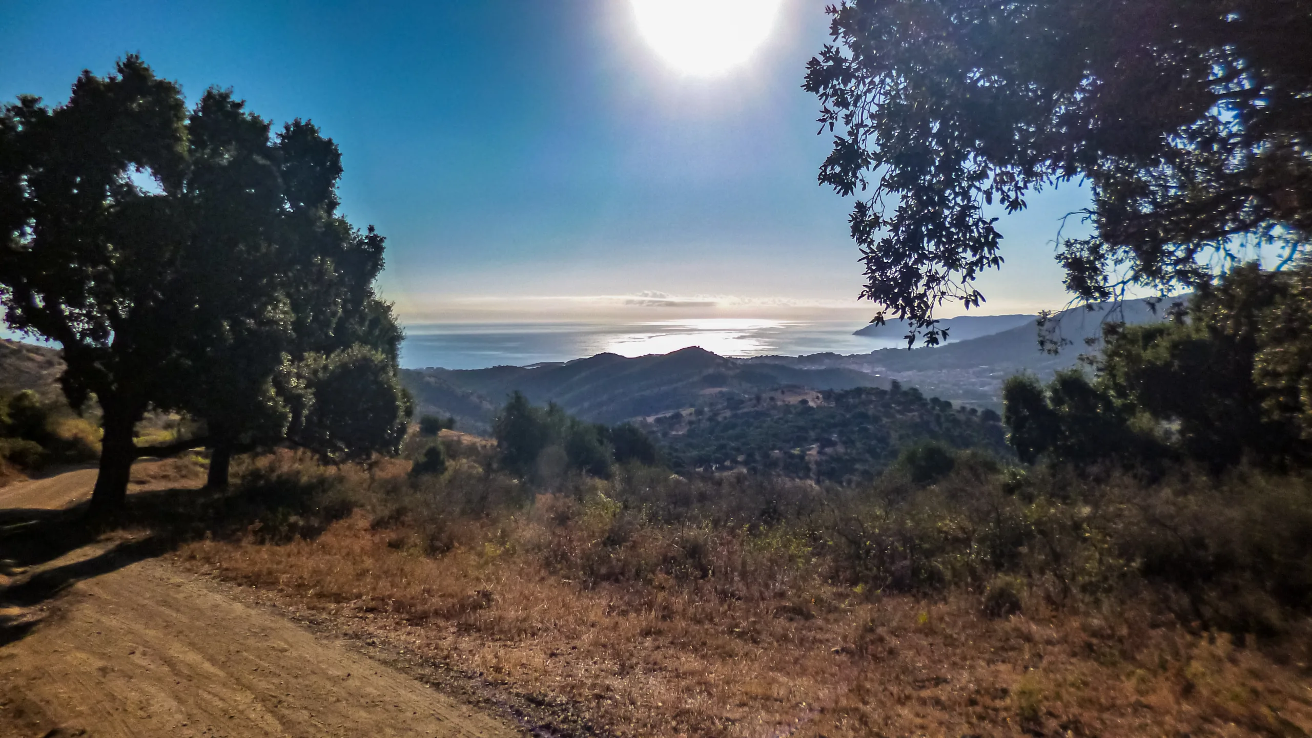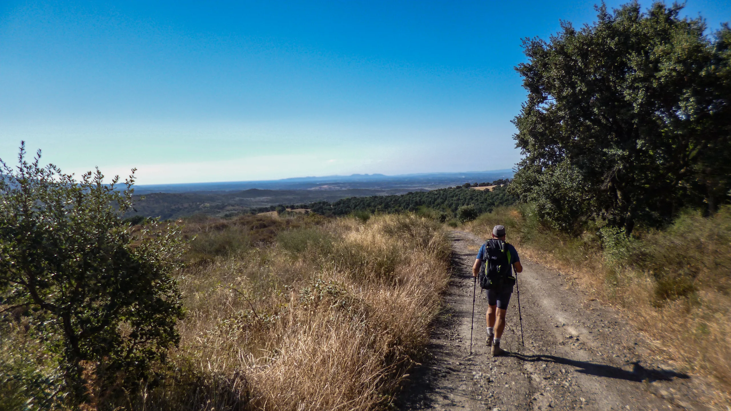
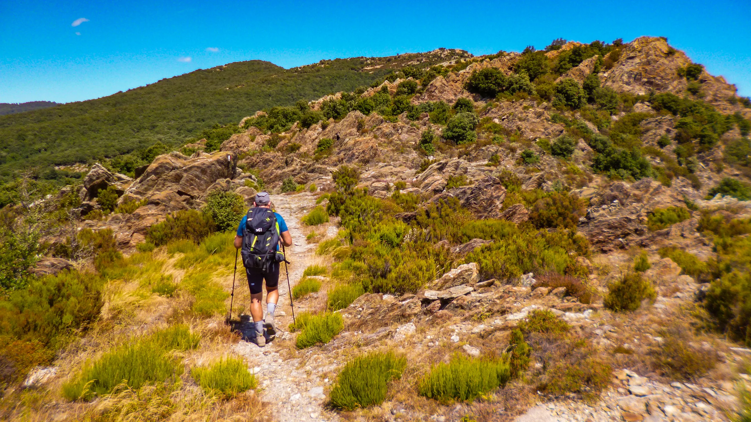
Stage 40 of the GR11 Trans-Pyrenean La Vajol-Requesens
The La Vajol-Requesens stage presents a long journey where compacted dirt tracks dominate over the brief asphalt sections near urban areas.
Spanning nearly 26 kilometers, our route invites us to wander through endless cork oak forests before reaching La Jonquera. Later, we will enjoy a lush trail tracing the ridge between La Barbota and the Coll de l’Auleda. Throughout the day, we are set to gain almost a thousand meters in elevation and descend just as much, with the bulk of the climbing concentrated on the ascent to La Barbota.
USEFUL INFORMATION



DIFFICULTY AND EXPOSURE

Mountain Itinerary Information Method (MIDE)
The MIDE is a method used to assess the degree of difficulty and exposure of mountain routes, recommended by the Federation of Mountain and Climbing Sports (FEDME), among other federations. Its goal is accident prevention by unifying the criteria of technical and physical demands of the routes, resulting in a more objective classification.
Each MIDE information table consists of two columns: the left one contains reference information about the itinerary, such as duration, elevation gain, distance, etc. The right column displays information related to the different aspects of the route’s difficulty. The evaluation scale ranges from 1 to 5 (from lowest to highest).
This method provides basic information in a changing environment; therefore, we must keep in mind that terrain conditions can vary significantly. For this reason, it is always recommended to check the state of the route before setting out.
ROUTE PROFILE
Explore the route profile
- The profile synchronizes with the track to analyze the elevation changes throughout the hike.
- Select any point on the track within the map to see it projected onto the profile.
- Click on the waypoints to identify them and pinpoint their location on an external map.
ROUTE DESCRIPTION
BETWEEN ROADS AND TRACKS
Setting off on our stage from the parking area located at the eastern entrance of La Vajol, we walk along the road heading north. After veering east, our descent continues on asphalt for over 2 kilometers. Along this stretch, we ignore a couple of intersecting paths (the GRM26 and the old GR11, according to some maps) that branch off the road and would otherwise allow us to cut off a significant portion of the route.
Shortly before reaching Can Bec de Baix, we take the track on the left that sharply turns from southeast to north-northwest, allowing us to trade the pavement for compacted dirt. Before completing our first kilometer on this track, the old GR11 trail merges in from the left. Maintaining our current direction, we follow the track until it bends northeast near Can Bell, just past the junction with the GRM26 trail.
Leaving the buildings of Can Carreres to our left on the asphalt, we press on over the hard surface until it transitions back into a dirt track between the Riera del Gou stream and the Ermita de Santa Eugenia.
Just before arriving at the hermitage, we proceed straight ahead at the crossroads, tracing an eastward arc that positions us south of the building. Skirting it to the east, we eventually reach a double intersection with the chapel now standing to our left.
A WORLD OF CROSSROADS
Of the three tracks branching off to the right, the first two head east while the last points northeast. Choosing the second track, we advance through a dense grove of cork oaks, curving north as we follow the natural contours of the terrain. Almost immediately, the path twists east-southeast, leading us to a small shoulder where we encounter another junction.
Shifting our bearing to the north, we pass by a spring and a monumental cork oak before reaching the trough of the hillside’s first gully. On the opposite ridge, we stay on the main track, ignoring a path that drops away to the right, and contour northwest until we hit the streambed.
Crossing to the other side, the track begins to ascend northward through a shallow depression, later cutting southeast to mount the ridge. Once on the ridge, we proceed north-northwest; after a northward bend, we arrive at a fork on the upper plateau. Sticking to the right, we immediately hit a second intersection. This time, we opt for the left-hand path and continue north, disregarding another branch that splits off to the left. Within a few meters, the track turns northeast at a new junction, granting us access to the opposite slope.
DESCENT TO LA JONQUERA
Sweeping in a northward arc, we traverse the hillside on a level grade until reaching the streambed, where we start losing elevation toward the northeast. Arriving at the junction leading to Can Pere, we keep left to maintain our descent. Ignoring all side trails, we push forward until the track merges with the lower path. Veering south, we hold a southeast bearing for nearly 2 kilometers, eventually linking up with a track just as we emerge from the trees at the outskirts of La Jonquera.
Following the track southeast, we turn east-northeast at the junction after just over 300 linear meters. Passing beneath the railway tracks, we reach another intersection; of the two paths branching right, we take the furthest one. We cross the Torrent de Querols via the bridge, arriving at yet another crossroads in front of a metal gate. Turning east-northeast, we skirt the property, keeping the wire fence to our right.
The track guides us toward the highway, which we pass under through a low-clearance tunnel. Emerging on the other side, we turn left through the parking lot and enter Carrer de Mateu Pla. Advancing until we cross the bridge, we then turn south onto Carrer Major, following the street past a small roundabout until we stand before the church of Santa Marina.
LEAVING LA JONQUERA
Continuing along Carrer Major to the town hall square, we exit the street via the narrow alley on the left, passing beneath the archway. On the other side, we veer south-southeast and follow Carrer Vell to the next intersection. Changing direction, we turn northeast onto Carrer de Migdia, climbing steadily until it connects with Carrer de Cantallops. At this junction, we proceed east, following the street to the next crossroads. Taking the ascending track on the left, we trace its curve toward the southeast.
ASCENT TO LA BARBOTA
The path begins an upward switchback with a northeast bearing, allowing us to take a couple of shortcuts between the main loops. After an eastward bend, the track suddenly hooks north; here, we leave it for the trail that branches off from the curve’s tangent, guiding us northeast to the upper junction.
At the crossroads on the flat, we take the northeast path and follow it to the next intersection. Holding our course, we step off the track onto a trail that shortcuts to the next level up. Carving through two bends, we arrive at a junction where the hermitage of Sant Miquel de Solans (also known as Santa Llúcia) comes into view to the northeast. We abandon the main track for the left-hand trail, following it to a small plateau where a shaded table and a spring to its left await us.
After a well-deserved rest, we resume our trek and emerge onto the upper track, which leads right toward the hermitage. The GR11, however, continues to the left, bypassing the building entirely.
Sweeping in a large ascending arc from northwest to northeast, the path slips into the gully between the Serra de la Bastida and the southwest buttress of La Barbota, enveloped by the slope’s dense vegetation. The trail crosses the upper section of the gully heading north, then veers east in search of the southern shoulder of La Barbota. Once on the shoulder, we turn north along the ridge path.
ALONG THE RIDGE PATH
Leaving the summit of La Barbota to our right, we reach a junction after descending the summit knoll and proceed straight ahead without altering our course. Passing over Puig dels Falguers—barely noticing it as a distinct peak—we descend along the leafy ridge to the Coll de Canals col. While the main track diverges to the northwest, we push straight ahead on the ridge trail, bearing northeast.
Following a brief climb, we pop out onto the track at the Coll de l’Auleda col.
DESCENT TO REQUESENS
At the col, we begin our descent along the track heading east-southeast. After the first northward bend, we walk past the memorial plaque for the 1986 Douglas DC-6 plane crash. Although we are just meters from the wreckage, it remains hidden from view due to its elevated position above the track.
The path carves a curve, following the natural contours through the southern cirque beneath the Roc de les Cols, and advances below its southeast ridge on a gentle downgrade. As the ridge bifurcates, the southern buttress meets the track near a cattle grid. Switching slopes, we traverse the hillside toward the crest of the eastern buttress. From there, we descend along it until reaching the crossroads that provides access to the gully where the Còrrec de la Verneda flows down.
Sticking to the main track toward the north-northwest, we cross a small streambed and hit the bottom of the gully. Hiking up to the opposite ridge in an east-southeast direction, we then turn north as we approach the Santuari de la Mare de Déu de Requesens.
After skirting the sanctuary to the north on an eastward heading, the track swings south-southeast, leading us straight to the buildings adjacent to the shrine.
While it is entirely possible to conclude the stage right here, continuing about 300 meters north along the track reveals a tranquil spot to spend the night beside the ruins of El Pentinador. As an added bonus, we are treated to an iron-rich water spring and a stone table, allowing us to wrap up the day’s journey in total comfort.
GR11 LA VAJOL-REQUESENS IN 360° AND VR
Enable full screen on the control panel
- Directional arrows on the screen
- Interactive map
- Step-by-step menu
Click the main button and drag the mouse to change the perspective
Dual navigation via directional arrows or mobile markers for previous/next image

BIVOUAC
Protected areas for spending the night outdoorsNot applicable

SHELTER
Facilities equipped for eating and sleepingNot applicable.
At the end of the stage, there are overnight options.

WATER POINT
Drinking water refill pointsThere are streams and springs along the way (supply and potability not guaranteed).
Resupply is possible in La Jonquera.
Iron-rich water spring at the end of the stage.

CAUTION
Areas requiring increased caution due to objective risksNone observed

SAFETY
Anchors, belays, and other safety elementsNone observed