

Explore routes through the interactive map
The StreetView for mountain sports
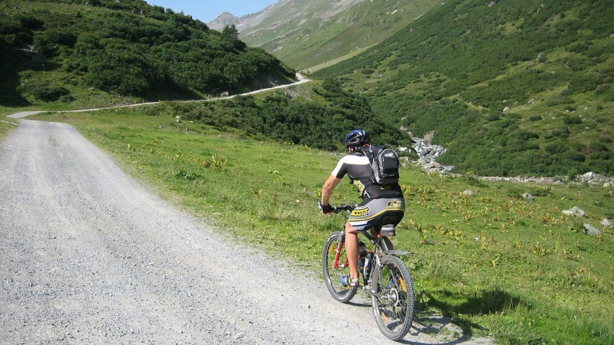
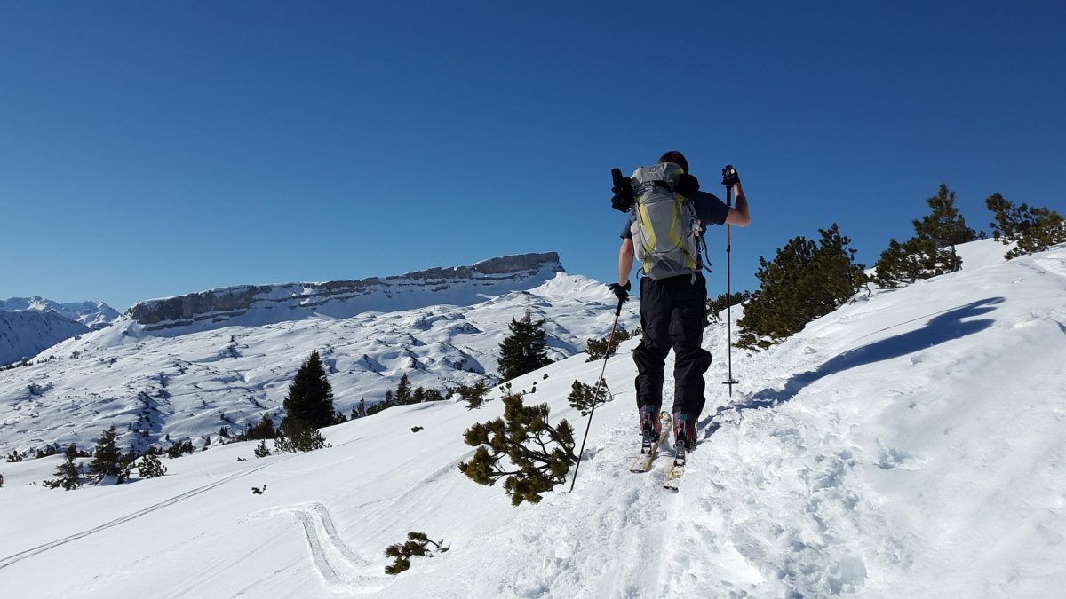
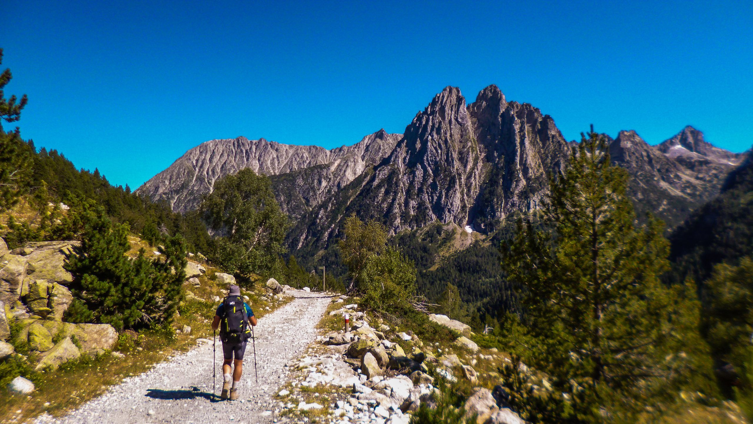
The trekking, MTB, and ski touring itineraries you will find on TreckView have been recorded entirely using immersive technology. Each itinerary is fully visible through a panoramic tunnel of 360° × 180° images and incorporates an interactive map for easy navigation. Furthermore, the tunnel offers the possibility of viewing it using VR headsets.
Click on the clusters to reveal the icons, then click on your chosen route icon to view its guide.
Subscription
Get notified by email every time we publish a new route.
Explore the GR11 stages on the map
Experience your favorite outdoor sports routes in 360°

Recent additions
Blog articles

Brand Partners